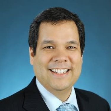
David Acco - President - Acosys, Talk, Indigenous Participation in Geospatial Technology

Theme:
Leadership, Innovation, and next-level Technology
What:
Talk
When:
2:05 PM, Wednesday 19 Jun 2019
(25 minutes)
Where:
Virtual Meeting Space
- GoGeomatics Three
How:
The purpose of this presentation is to make the case for greater Indigenous participation in the development of geospatial technology and information. Next to government and resource companies, Indigenous people are the prominent stakeholders of the land and all the economic development that can happen on their territory. For this reason, they should have access to their own Geospatial data such as GIS data and ground imagery. Often the sources for Geospatial data comes from the proponent who has a vested interest in gaining access to Indigenous traditional territories, or industry or agencies that have no direct connection to Indigenous people or their land. This approach places Indigenous people as passive participants in the types of data collected for environmental assessment, land usage planning, socio-economic studies, etc..
The presentation provides a model to enhance data contribution and building capacity for Indigenous people as active participants in the development of Geospatial technologies, delivery of data and natural resource management assessments. Active Indigenous participation offers the opportunity to incorporate traditional knowledge into data gathering and assessments that will further enhance the decision making and planning process using innovative geospatial approaches especially around the science of climate change.
Acosys is proposing the development of an Indigenous Geospatial Centre of Excellence with government and industry as a means to create an ecosystem for greater Indigenous participation, capacity in the design and delivery of Geospatial data to government, industry and community. Acosys, with its partners, are focused on developing:
1) A production center for the delivery of geospatial data and imagery to both government and industry.
2) An ecosystem of expertise in a distributed model that incorporates traditional knowledge, local data gathering to supplement mid-level geospatial data with macro geospatial data from both UAV and Satellite Imagery for impact assessment, land usage studies, etc.
3) Specialized applications and application interfaces (APIs) that marry both the local and geospatial data to use natural resource management and extraction.
4) Access to data and studies from independent 3rd parties.
5) Indigenous talent for the Geospatial industry.
As noted by many studies, Indigenous people are not opposed to resource development, provided it respects the land and their traditional values but also includes them in the benefits socially and economically. A further enhancement of the goals to have Indigenous people’s active participation in the geospatial industry. Their contribution to the industry will build capacity that will include Indigenous values and approaches in the data gathering and studies for natural resources management and extraction within traditional territories. Their direct involvement as producers of geospatial knowledge will be in many ways meaningful to them and consistent with traditional values. Thus helping with the goals and objectives of Canada’s Truth and Reconciliation Commission’s (TRC) Calls to Action and The United Nations Declaration on the Rights of Indigenous Peoples (UNDRIP)
