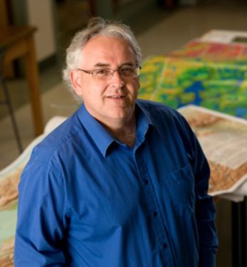
Tim Webster - AGRG - Talk: Seamless Topo-Bathymetric lidar mapping to support multiple coastal applications

Theme:
Leadership, Innovation, and next-level Technology
What:
Talk
When:
8:30 AM, Wednesday 19 Jun 2019
(30 minutes)
Where:
Virtual Meeting Space
- GeoSpatial One
How:
The coastal zone is a challenging place to map, techniques for mapping the land elevation do not work under water and echosounding methods for mapping the seabed elevation work well in deep water but are dangerous and expensive in shallow water. As a result, detailed information in the shallow coastal zone is lacking. This presentation will focus on the Chiroptera II shallow water topo-bathymetric lidar sensor that can collect seamless elevation data in coastal or freshwater environments. The Applied Geomatics Research Group (AGRG) within the Nova Scotia Community College (NSCC) has operated this sensor since 2014 and has developed skill in turbidity management to ensure optimal water quality conditions during surveys, as well have developed automated workflows for processing the data. In addition to elevation and RGB+NIR orthophoto products, methods have been developed to produce near-shore benthic habitat maps and shoreline composition maps from these data. In addition to collecting seamless land-sea bathymetry other derivative products including depth normalized lidar intensity models have been constructed which aid in benthic habitat mapping. The results of mapping submerged aquatic vegetation using these data have accuracies of 80-85% compared to quadrat based underwater photography and echo sounding data. Several coastal bays in Maritime Canada have been flown for various applications. Studies have been conducted in areas of dense floating seaweed where biomass estimates have been derived for the seaweed from the lidar. Maps derived from these data for other sites have been used to map the composition of the coastline and benthic habitat to support possible oil spill cleanup operations. Nearshore bathymetry has been used to construct hydrodynamic models to map the potential trajectory of oil spills and land based pollution as well simulate flooding from storm surge events. Recent upgrades to the sensor has increased the point density by four times, thus improving the spatial resolution of the point cloud for mapping purposes. This increased point density enhances our target detection ability and increases our ability to classify submerged aquatic vegetation at the point cloud level.
