Colleen Fuss
GIS & Remote Senesing Specialist
Natural Resources Canada (NRCan)
GIS & Remote Senesing Specialist; Owner at Natural Science Geomatics
Sessions in which Colleen Fuss attends
10:45 AM
10:45 AM
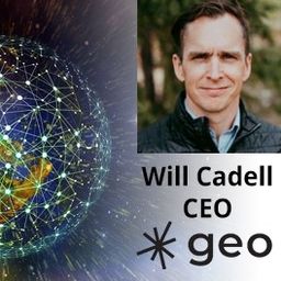
- Talk: "The Geospatial Product Trap," SparkGeo's CEO - Will Cadell
- 10:45 AM EDT - 11:15 AM EDT | 30 minutes
- Do you know what the geospatial product trap is? We fall in love with the technology, not the problem. I am a lucky person....
- Talk
-
11:30 AM
11:30 AM
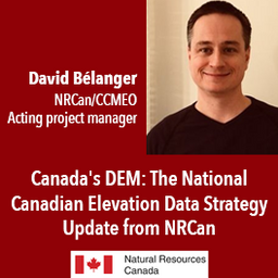
- Canada's DEM: The National Canadian Elevation Data Strategy Update from NRCan
- 11:30 AM EDT - 12:00 PM EDT | 30 minutes
- The Canadian Centre for Mapping and Earth Observation (NRCan) continues its work to implement the National Elevation Data Strategy. Through this...
- Talk
-
12:30 PM
12:30 PM
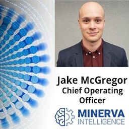
- Talk: "Why is an AI company designing Canada's hydro database?" Minerva Intelligence's COO - Jake McGregor
- 12:30 PM EDT - 1:00 PM EDT | 30 minutes
- Over the past year, Minerva Intelligence, a Vancouver-based cognitive AI company, has been awarded two contracts with Natural Resources Canada t...
- Talk
-
2:00 PM
2:00 PM
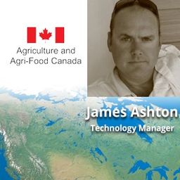
- Talk: "Making Corporate Decisions using Geospatial Data and the Power of Location Intelligence!" Agriculture Agri-Food Canada's Agri-Geomatics Manager - James Ashton
- 2:00 PM EDT - 2:30 PM EDT | 30 minutes
- Explore the structure of an enterprise location intelligence platform at Agriculture Agri-food Canada and how they created a strategic road map to ...
- Talk
-
2:45 PM
2:45 PM
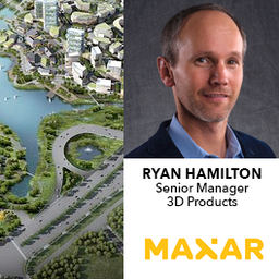
- Optimizing and Accelerating the Globe in 3D
- 2:45 PM EDT - 3:15 PM EDT | 30 minutes
- Maxar is building the highest resolution and most accurate 3D map of the planet and this talk will provide an overview of the products and capab...
-
3:30 PM
3:30 PM
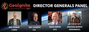
- Title: Advancing Space Based Observation in Canada: The Federal Government of Canada Geospatial Directors General Panel
- 3:30 PM EDT - 4:30 PM EDT | 1 hour
- Title: Advancing Space Based Observation in Canada:The GeoIgnite 2021 Directors General Geospatial Panel, part of Canada's National Geospati...
- Panel


10:45 AM
10:45 AM
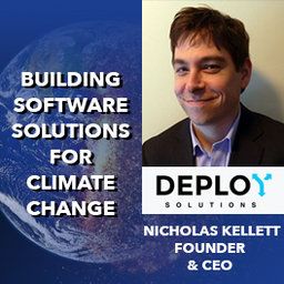
- Talk: "Building Software Solutions for Climate Change: Closing the communication gap between citizens & trusted authorities before, during, or after a disaster," Deploy Solutions's CEO - Nick Kellett
- 10:45 AM EDT - 11:15 AM EDT | 30 minutes
- At a time of rising climate change impacts, there is a vital and growing need to prepare for, respond to, and recover from natural disasters. Bu...
- Talk
-
11:30 AM
11:30 AM
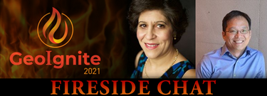
- Special Event: Fire Side Chat with Dr. Steve Liang, Founder & CTO of SensorUp & Dr. Nadine Alameh the OGC’s CEO
- 11:30 AM EDT - 12:00 PM EDT | 30 minutes
- Join us April 22nd for a Fireside Chat with Dr. Steve Liang, Founder and CTO of SensorUp. Professor and Rogers IoT Research Chair at University of ...
- Talk

1:15 PM
1:15 PM
- Talk: "Analyzing Canadian Communities with POI Data" Tabulae Spatial Services Principal -Juliana McMillan-Wilhoit
- 1:15 PM EDT - 1:45 PM EDT | 30 minutes
- Applying SafeGraph’s Canadian POI data for community-level analysis in ArcGIS and TableauGeospatial data empowers research bodies...
- Talk
-

2:00 PM
2:00 PM
- Talk: Canadian Council on Geomatics - Fostering collaboration across jurisdictions
- 2:00 PM EDT - 2:30 PM EDT | 30 minutes
- For nearly 50 years, geomatics representatives from Canadian provinces and territories have collaborated together and with the federal governmen...
- Talk
-
10:00 AM
10:00 AM
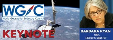
- Keynote: Barbara Ryan - Supporting Decision Makers: Challenges and Opportunities for the Earth Observation and Geospatial Communities
- 10:00 AM EDT - 10:30 AM EDT | 30 minutes
- The global geospatial industry is estimated at US$ 500 Billion and delivers an even more significant impact on society, with derived economic be...
- Keynote

10:45 AM
10:45 AM
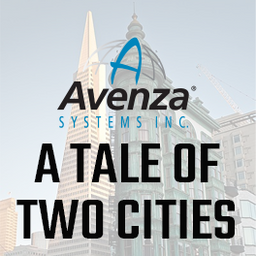
- A Tale of Two Cities - Quality cartographic output for your data with Adobe Illustrator and MAPublisher
- 10:45 AM EDT - 11:15 AM EDT | 30 minutes
- In this presentation by Avenza Systems, we will be showcasing how high quality cartographic outputs after your data analysis can actually be ach...
- Talk
-
12:30 PM
12:30 PM
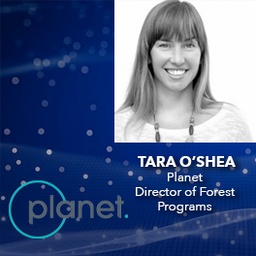
- Advances in Earth Observation & Analytics Technologies + Deployment in Forest & Climate Solutions - Tara O'Shea, Planet
- 12:30 PM EDT - 1:00 PM EDT | 30 minutes
- With rapid advances in Earth observation, cloud computing, and analytics technologies, more information on our changing world is more readily avail...
- Talk
-
2:45 PM
2:45 PM
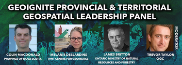
- Canada’s Provincial & Territorial Geospatial Leadership Panel
- 2:45 PM EDT - 3:45 PM EDT | 1 hour
- Join GeoIgnite for this inaugural panel of provincial and territorial geospatial and location technology leaders.We will be discussing i...
- Panel


1:00 PM
1:00 PM
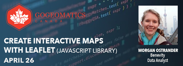
- GoGeomatics Canada Workshop: Create Interactive Maps with Leaflet (JavaScript library)
- Signup required
- 1:00 PM EDT - 3:00 PM EDT | 2 hours
- Tickets for this workshop must be claimed in advance.Interested in learning web mapping with JavaScript? Join our intro...
- Workshop

10:00 AM
10:00 AM
- Let's Talk Automation
- Signup required
- 10:00 AM EDT - 12:00 PM EDT | 2 hours
- Google Chrome is the preferred browser for this session.Tickets for this w...
- Workshop
-

10:00 AM
10:00 AM
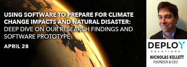
- Using software to prepare for Climate Change impacts and natural disaster: Deep Dive on our research findings and software prototype
- Signup required
- 10:00 AM EDT - 12:00 PM EDT | 2 hours
- Tickets for this workshop must be claimed in advance.At a time of rising clima...
- Workshop