Zihan Chen
Sessions auxquelles Zihan Chen assiste
Mardi 22 Mars, 2022


Albeit industry efforts, over 1 million underground utilities are annually hit around the world, with estimated damages exceeding $100 billion, not considering billions invested in technologies and inefficient processes aimed to protect utilities during earthworks operations. Available utility data is usually unreliable, and even if data is accurate, the excavator operator may still damage a utility.


Arising 3-D modeling, visualization, and design software (e.g., BIM, VDC) greatly enhance advanced project designs with sophisticated risk analytics and conflict resolutions that accommodate existing infrastructure and enable proactive/predictive engineering and construction. However, without standardized and accurate utility data, new advanced digital project delivery and damage prevention technologies are compromised...


As the world continues to grow and urbanize, new urban infrastructure is being constructed at an unprecedented rate while old world infrastructure is being replaced and upgraded. This has lead to a greater demand for accurate and current utility locating and mapping. This demand is further exacerbated by the fact that infrastructure construction costs continue to rise and the slightest delay or extra cost associated with insufficient utility locating has an...


This presentation will be focusing on the advancement of "Cloud and Mobile" technologies that are currenlty being used to easily and accurately map assets and underground utilities that can be shared, re-located and leveraged thoughout the many project phases.It is critical that data accruacy and integrity is leveraged and accumulated throughout every phase of the BIM procress, creating a live "digital twin" all the way back to t...


Abstract:The total cost of underground infrastructure damage in Canada during excavation work is estimated to be over $1 billion dollars annually. The primary cause of these damage incidents is the lack of reliable information on the location and other information about buried utilities and other infrastructure. The Canadian Underground Infrastructure Register project is intended to improve the current damage prevention process by providing access to reliable data t...


Mercredi 23 Mars, 2022

In Singapore, almost all utilities are buried underground to free up valuable above ground space for more liveable environment. These underground assets which consist of power cables, telecommunication lines, water pipes, gas pipes and wastewater networks are critical infrastructure that keep our city functioning. Most cities have not been able to keep reliable, complete, and up-to-date maps of their underground utilities due t...

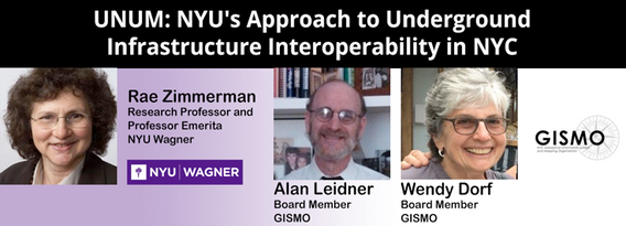
NYU and GISMO's Unification for Underground Resilience Measures (UNUM) is a multi-faceted research initiative aiming to improve our understanding of the city's underground infrastructure assets from the community level through city government and private asset holders. The many activities within the scope of this project include: community collaboration on developing a digital twin of their neighborhood, use of open data to develop an integrated application ...


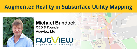
We live in a world where the skill required to interpret maps and engineering drawings is decreasing while the density of underground networks is increasing. The result is increased collateral damage, network outages and poor health & safety outcomes for our field workers.Today, we need better ways to accurately capture and comprehend the location and nature of those networks that are out of site under our feet. AR (Augmented...