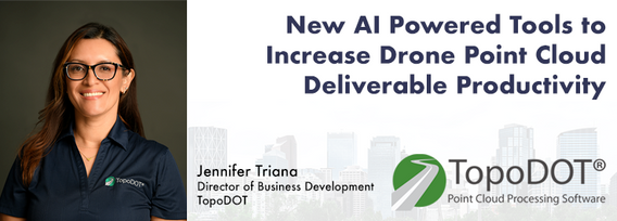
Jennifer Triana has over 19 years’ experience in the LiDAR industry. After graduating with a Mechanical Engineering degree from UCF, she joined the Riegl USA heading the static systems team. More than a decade ago she was one of the founding members of TopoDOT, Point Cloud Processing Software, where she is now the Business Development Director.
Sessions in which Jennifer Triana participates
الثّلاثاء 5 أبريل, 2022
In recent years the geospatial drone market has expanded dramatically. Drone based UAS (LiDAR) and UAV (Imagery) systems vast differences make it difficult to choose one over the other. This presentation aims to explore their differences from the point cloud processing aspect. We will examine the pros and cons of each system for practical survey and mapping applications such as topographies, bare earth, volumetrics, etc. Learn how data accuracy, density, intensit...
الثّلاثاء 25 أبريل, 2023
As traditional infrastructure design methods advanced using LiDAR survey data, this presentation aims to show the transportation industry's most productive software solution for Digital As-Built modeling from point cloud data. You will see how the TopoDOT®'s comprehensive tool suite allows you to establish a highly productive process to manage data, assess quality and extract CAD and GIS products exceeding your customers' requirements and expectations. Additionally we will discuss a collab...
الأربعاء 26 أبريل, 2023
Our team of experts will be running the TopoDOT software workshop showing multiple types of applications using Mobile, Terrestrial, Drone and Airborne point clouds. You will learn about the latest feature extraction workflow developments for transportation applications such as corridor topographies, GIS inventories, surface modeling. See the expanding applications of point clouds in engineering grade data analysis such as Wall Displacement, Cross Slope, Volume Calculation, Clearance/Encroa...
الثّلاثاء 7 نوفمبر, 2023
Learn how newly implemented surface modeling tools employing artificial intelligence reduce the turnaround time of point cloud surface models by 400% while maintaining high-fidelity results around break lines. Faster ground extraction routines for UAV data can be achieved without the need for classification or noise removal. In this presentation, we'll discuss several examples including how a query volume calculation project compared with traditional modeling workflows yielded nearly exact...
الأربعاء 8 نوفمبر, 2023
Join us at the GoGeomatics Expo for a dynamic panel discussion on the latest trends in Lidar technology. Our panel of experts will dive into the advancements in Lidar data, hardware, and software, providing valuable insights into the ever-evolving geospatial world. Discover the future of Lidar and its applications, and stay at the forefront of geomatics innovation.lidarcanex.com
الثّلاثاء 26 مارس, 2024
As traditional infrastructure design methods migrate from 2D to 3D modeling, LiDAR data acquisition continues to present an opportunity to improve the base modeling process. This presentation will show how TopoDOT can be used to extract DGN vector data from point clouds to improve the quality of digital as-built base models which enable better transportation 3D design processes like Bentley’s ORD.


