
Cassidy Rankine
Dr. Cassidy Rankine is an Earth Observation evangelist, a global change scientist, and remote sensing solutions connoisseur. He has worked all over the world building satellite calibration and validation sites and developing geospatial data products and platforms to help solve remote monitoring need for our vanishing natural capital resources. His current role as a Sr. Account Executive at Planet Labs Geomatics based in Western Canada brings together expertise in geospatial technologies to help business and government adopt new strategies for digital transformation and sustainability problems by leveraging emerging EO capabilities.
Sessions in which Cassidy Rankine attends
Monday 12 May, 2025

📅 Date: Monday, May 12, 2025📍 Location: Rainbow Bistro, 76 Murray Street, ByWard Market, Ottawa⏰ Time: Networking at 6:30 PM | Panel begins at 7:00 PM | Live music to follow🍽 Details: Cash bar and hors d’oeuvres provided Event OverviewJoin us for an evening of high-level discussion, networking, and live music in the heart of Ottawa’s historic By...


Tuesday 13 May, 2025

At GeoIgnite 2025, Alexander will explore how Canada's geospatial community is uniquely positioned to lead in developing solutions to environmental challenges in a rapidly changing geopolitical landscape. Drawing on compelling case studies from around the globe, including successful Dutch-Canadian collaborations, he will demonstrate how geospatial technologies are becoming indispensable tools for environmental monitoring, climate resilience planning, and sustainable...

A seasoned leader in geomatics and Earth Observation with two decades of experience in the federal government, Eric Loubier has vast expertise in developing and implementing national geomatics and Earth observation strategies. In his talk, Eric will explore the integration of AI with Earth observation, and how this powerful combination is transforming Canada’s approach to addressing critical national issues like climate change, natural resource management, urban planning, and disaster response.


Wednesday 14 May, 2025


As the geopolitical landscape shifts and a new global space economy emerges, Canada must navigate complex international dynamics and seize opportunities in all facets of the space ecosystem. In this talk, we will explore how space can be part of the solution to geopolitical and national challenges—and what Canada must do to stay ahead in a rapidly evolving global landscape.


This talk will highlight method innovations in water research using satellite earth observations (SEO) in the Canada Centre for Mapping and Earth Observation (CCMEO) of Natural Resources Canada (NRCan). They include dynamic surface water mapping and modelling for water areas and water volume changes, terrestrial water storage variations, groundwater recharge evolution and storage changes, water extreme events (drought and flood) characterization, and environmental and climate impacts on the w...


Natural Resources Canada’s (NRCan) Emergency Geomatics Service (EGS), under the Canada Centre for Mapping and Earth Observation (CCMEO), supports the national and international emergency response efforts by providing rapid disaster mapping services. This presentation will give an overview of the service and highlight examples of how it uses satellite imagery and advanced remote sensing technologies to assess the impact of natural disasters like floods, geohazards, and wildfires, enhancing sit...


Unlocking the Power of EO and AI through Collaboration and PartnershipsThis panel will explore the transformative power of Earth Observations (EO) and Artificial Intelligence (AI), emphasizing the critical role of collaboration and partnerships in unlocking the full potential of these technologies. As global challenges continue to evolve, th...


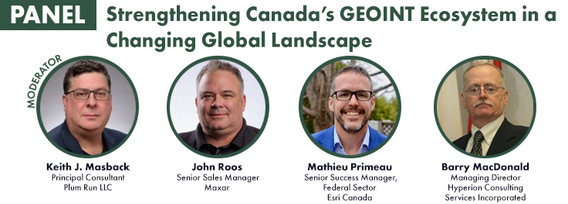
In a world of constant change and uncertainty, how can we make informed decisions in real-time, grounded in the realities of ambiguity? This presentation tackles these fundamental questions by exploring the evolution of how we understand and interpret our world—from childhood curiosity to professional expertise—and how these insights shape decision-making in complex environments.Using case studies in GEOINT adoption inside and outside traditional national security communities, I will d...
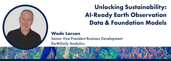
Foundation models represent a transformative shift in the utilization of EO data, historically limited by data complexity, and the manual preparation and analysis required to employ the data. By using foundation models with forthcoming AI-ready EO datasets, users will be able to efficiently develop solutions for diverse sustainability applications without extensive labeling efforts. This approach greatly expands the practical value and accessibility of EO data, driving innovations across envi...
