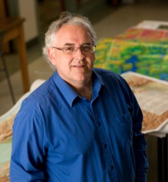
Dr. Tim Webster
Dr. Tim Webster is a research scientist with the Applied Geomatics Research Group, part of Applied Research at Nova Scotia Community College in Middleton, Nova Scotia, Canada. His research focus is mapping and modeling earth’s surface processes and uses a topo-bathymetric lidar and other geomatics data to support his research. He obtained his PhD from Dalhousie University in 2006, MSc from Acadia University in 1996, an Advanced Diploma in Remote Sensing from the College of Geographic Sciences in 1988, and a BSc (Geology-Physics) from the University of New Brunswick in 1987. In 2002 he was co-awarded the Government of Canada “Science Awards to Leaders in Sustainable Development” for coastal flood risk and climate change in Prince Edward Island research. In 2010 he received the Gulf of “Maine Council Visionary Award”. In 2017 he was presented with the Geomatics Association of Nova Scotia “Award of Distinction”. In 2022 he was awarded the Discovery Centre “Public Impact Award”. He has been with the college for over 30 years, with over 20 as a research scientist and as a consultant for over 20 years. Since 2004 Tim has published over 30 peer-reviewed papers and has supported numerous graduate students in the MSc Applied Geomatics program. Tim typically makes about 20 presentations/year and his research appears in the media as well as being consulted on mapping related topics.
Sessions in which Dr. Tim Webster participates
Wednesday 19 June, 2019
The coastal zone is a challenging place to map, techniques for mapping the land elevation do not work under water and echosounding methods for mapping the seabed elevation work well in deep water but are dangerous and expensive in shallow water. As a result, detailed information in the shallow coastal zone is lacking. This presentation will focus on the Chiroptera II shallow water topo-bathymetric lidar sensor that can collect seamless elevation data in coastal or freshwater environments. The...
