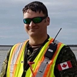
I have served with the Canadian Armed Forces (CAF) for 24 years (in various capacities). I have a GIS diploma from Algonquin College (2007) and Geomatics Engineering Technology diploma from the Centre of Geographic Sciences (2013). I work in the survey department of the Mapping and Charting Establishment here in Ottawa (since 2009). I have been involved with many conventional (GNSS/ETS) and terrestrial LiDAR surveys across Canada. Our department works mostly for the CAF, but on occasion we have worked with RCMP and other governmental departments. Our recent focus has been on the development of our terrestrial LiDAR capability to produce survey grade analysis and products. This will be the main topic we will cover in my presentation.
Sessions in which Mark Pikul participates
Wednesday 19 June, 2019
Time Zone: (GMT-05:00) Eastern Time (US & Canada)
Military Terrestrial LiDAR Applications
9:00 AM -
9:30 AM |
30 minutes