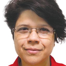
Sessions in which Adreeta Sarmah participates
Monday 17 June, 2019
Gain insights on the possibilities and challenges with leveraging and integrating a complete open source GIS stack into your applications and projects. Sessions will be led by members of OSGEO-Ottawa.The first session involves high level presentations showcasing use case scenarios and highlighting strengths and limitations of each tools. This session is designed for managers, analysts, and non-technical individuals to discover and learn about what open source GIS tools are available, ...
The second session is a hands-on workshop, with a maximum participation of 12, and is designed more for participants that have a more technical background. This allows them to actually gain practical experience in the use of the open source GIS tools. Sessions will be led by members of OSGEO-Ottawa. Topics will include leveraging QGIS Desktop and the Semi-Automatic Classification plugin to extract a forest canopy cover map of Ottawa using either Sentinel or Landsat satellite imagery...

