Skip to main page content

Hydrospatial: Science Coastal Flooding + Detection & Response for Tsunami
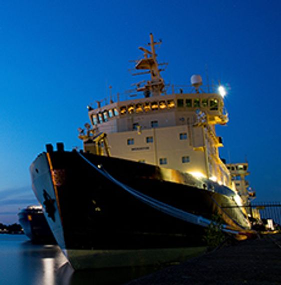
Decorative image for session Hydrospatial: Science Coastal Flooding + Detection & Response for Tsunami

My Session Status

What:
Talk
When:
2:30 PM, Wednesday 22 Jul 2020 (45 minutes)
Breaks:
Break   03:15 PM to 03:30 PM (15 minutes)
Where:
Virtual Meeting Space - Room 2   Virtual session
This session is in the past.
The virtual space is closed.
Virtual space archived

Ocean, Marine & Coastal Hydro(Geo)spatial Management is critical for the Blue Economy. Much knowledge, data, information and coordination are needed for the marine and coastal sector in time of disruption to maintain safe and efficient operations.

This session will cover the scientific basis; the detection and the response of Earthquake in the Canadian coastal zone and underwater that could potentially generate ocean coastal flooding & Tsunamis. The session will be as follows:

These times are approximate

•14:30 Introduction - Denis Hains, H2i;

••14:32 National Scale GIS for Assessment of Hazards - Dr. Daniel Lebel & Gwyn Lintern, NRCan;

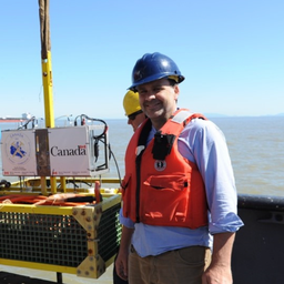
•••14:48 Detecting & Responding to Great Waves! - Mark Leblanc, DFO & David McCormack, NRCan;

••••15:04 Live Q&As.

•••••15:15 End of Session.


My Session Status

Send Feedback

Session detail
Allows attendees to send short textual feedback to the organizer for a session. This is only sent to the organizer and not the speakers.
When enabled, you can choose to display attendee lists for individual sessions. Only attendees who have chosen to share their profile will be listed.
Enable to display the attendee list on this session's detail page. This change applies only to this session.

Changes here will affect all session detail pages unless otherwise noted