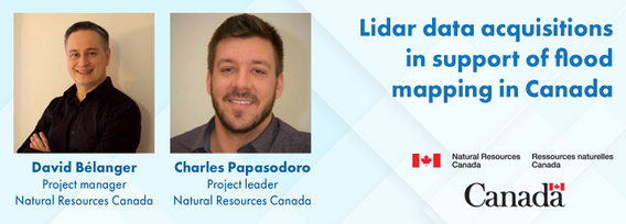
Charles travaille depuis 2016 dans l'équipe de la Stratégie nationale de données d'élévation au Centre Canadien de Cartographie et d'Observation de la Terre de Ressources naturelles Canada. La stratégie vise à mettre à la disposition des canadiens une représentation 3D détaillée du pays à l'appui des priorités du gouvernement, en collaborant avec les organismes fédéraux, les provinces, les territoires, le secteur privé et des partenaires internationaux. Charles est coordonnateur de projet pour la Stratégie.
Charles has been working with the National Elevation Data Strategy team at Natural Resources Canada's Canadian Centre for Mapping and Earth Observation since 2016. The strategy aims to provide Canadians with a detailed 3D representation of the country in support of government priorities, by collaborating with federal agencies, provinces, territories, the private sector and international partners. Charles is the Team Leader for the Strategy.
Sessions in which Charles Papasodoro participates
Wednesday 29 January, 2025
Flooding is the most costly natural disaster in Canada. Although flood hazard maps are essential for understanding a community’s risk to flooding, in Canada, many flood maps are not always available or up to date. High quality flood mapping that is current and accessible will help governments, communities, and individuals understand flood hazards and to implement effective mitigation strategies to reduce their impacts.Since 2021, Natural Resources Canada (NRCan) has been leading the Fl...
Join us at LiDARCanEX 2025 for an insightful panel discussion moderated by Dr. Tim Webster. This session will bring together experts to explore the current state of LiDAR projects in Canada and discuss what the future holds. Topics include:Wide-Area Topographic LiDAR Mapping: Applications in forestry, flood risk assessment, powerlines, infrastructure, and urban development.Topo-Bathymet...


