Richard Quodomine
He/Him
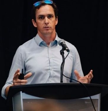
Richard D. Quodomine, MA, FRCGS is a Senior Lead GIS Analyst for the City of Philadelphia’s Department of Public Property. In that role, he analyzes the expenditures on locations of public infrastructure and assets throughout the city. He also works with many other agencies, both internal and external to analyze the impact of public investment in the city. Geospatial information, statistics and data are critical to his job.
Before moving to Philadelphia, Richard, often referred to by friends as Rich or RQ, enjoyed a lengthy career at NYS Department of Transportation. He also serves as an ESRI GeoMentor, AAG Career Mentor, and guest lecturer. His research and professional analysis writings have appeared in several publications. Most recently, Mr. Quodomine served on a committee working with several urban geographers on COVID-19 response. He is on the board of the Mid-Atlantic Chapter of URISA, and previously served on board position at the NYS GIS Association, the Urban Geography Study Group and Transportation Study Group of AAG.
Rich lives in the Roxborough neighborhood of Northwestern Philadelphia with his family.
Sessions in which Richard Quodomine attends
miércoles 22 julio, 2020
Building on the panel discussion at GeoIgnite 2019, David Acco will discuss the potential of geospatial data and analytics to advance issues critical to Indigenous communities across Canada, from exerting sovereignty over territory, to environmental protection and climate change adaptation, to natural resources development. Mr. Acco will further outline how his firm, Acosys Consulting Services Inc., has developed an approach to marrying Indigenous Traditional Knowledge (ITK) and geospatial...
Strategic Geospatial for a Complex WorldWhere humans move and landscapes change there is value. That’s geospatial. This talk is about how to think strategically about geospatial technology in an increasingly complex world.In particular, we will focus on canada’s strengths, and how we might inject novel geospatial technology into new markets
GIS users’ numbers are expanding around the world. It is now possible to find a GIS use in every field and to optimize their success. Discover how Business Geografic work throughout all fields to offer a new and modern approach to use Geografic Information Systems. Wheter your need are the one of an expanding business, a wide world telecom company or an official government entity, find out how we can help you vizualise your data and improve your process.
jueves 23 julio, 2020
Agriculture Canada’s COVID-19 response with location data & technology helping drive Objectives and Key Results (OKR’s) on the Enterprise GIS Roadmap This talk is designed to provide insights and guidelines for managing and directing Geospatial programs and uses the COVID-19 response (Maps Apps and Data) and digital transformation as the means to achieve the Objectives and Key Results of the Geomatics program.At AAFC the strategic initiatives of our data driven...
viernes 24 julio, 2020
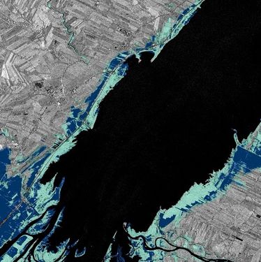
In recognition of the increasing costs and risk due to flooding, the Government of Canada is investing in flood mapping as part of the Government’s commitment to build safer and more resilient communities. Flood maps are critical for the public to understand their flood risks, and the availability of up to date flood hazard maps are key to strengthening the resilience of Canadian communities to overland flooding. Natural Resources Canada (NRCan) has been working in collaboration to advance...
