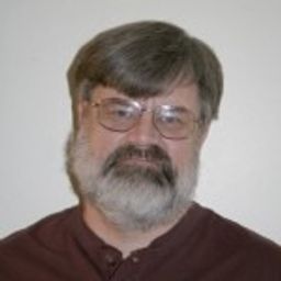
Bob has an interest in Business Intelligence and data management, specifically spatially based data. He has recently retire as a GIS Systems Developer at the City of Saint Paul, MN. after 37 years. He has gained experience from community and volunteer work at SharedGeo in the field of information management. He's self taught in the field and began his career before titles existed for any type of digital data management. His experience with the City has afforded him the opportunity to become familiar and work with many different, new, and evolving technologies. From these experiences He's developed successful methods for providing digital information via the web.
Sessions in which Bob Basques participates
martes 25 junio, 2024
In 2017, representatives of Gopher State One Call (GSOC) reached out to the leadership of Emergency Preparedness Committee of the Minnesota Geospatial Advisory Council (EPC) in hopes of learning what could potentially be done to improve the use of geospatial technology in the underground utility community. From ensuing discussions over the next three years, the Underground Utilities Mapping Project Team (UUMPT) came into existence under the auspices of the EPC in early 2020. Now comprised of ...
Sessions in which Bob Basques attends
martes 16 mayo, 2023
Geoff Zeiss was an instrumental influencer for the Minnesota Utility Mapping Project (MN UMP). The goals of the MN UMP are to 1.) increase the accuracy of underground utility maps, 2.) provide for a method of viewing this data in relation to a "One-call" excavation area, and 3.)reduce underground utility damages. This viewed utility mapping data is supplemental to the "One-call" process. Founded in 2020, the Minnesota Underground Mapping Project completed the Phase 1 prototype for viewing ...
The talk summarizes a market product of deep learning based semantic segmentation of point clouds and automatic 3D reconstruction of as-built BIM for underground utilities and pipework for 3D GIS. The presentation covers a general workflow of the approach (including point cloud labeling, definition of classes, deep neural network, information extraction, and pipe modeling), accuracy of semantic segmentation, real case studies, and foreseeable challenges down the road. Also, the speakers wi...
CUIR is a portal solution that will allow the owners of buried infrastructure to exchange information with firms requesting the nature and location of buried assets bounded within the area outlined in a One Call ticket. Unlike a central database, the CUIR process does not provide anyone access to the owners database, but rather allows the owner to receive the request and push the data to the requestor thus preventing any external party access to their database.This process will also...


