Jean-Sébastien Moreau
Sessions in which Jean-Sébastien Moreau attends
martes 26 marzo, 2024
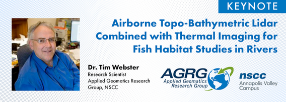
Airborne Topo-Bathymetric Lidar Combined with Thermal Imaging for Fish Habitat Studies in RiversResearchers at Nova Scotia Community College’s Applied Geomatics Research Group have been using the airborne Leica Chiroptera 4X topo-bathymetric lidar sensor for nearly a decade and have surveyed coastal, riverine and lake environments. They have concentrated on mapping submerged aquatic vegetation (SAV). Topo-bathy lidar data of rivers provides an opportunity for improved flood hazard h...
Canada’s LiDAR Panel: Future Trends in Service and Tech, is a deep dive into the evolving landscape of LiDAR technology in Canada. Our panel of experts will explore cutting-edge developments in LiDAR, focusing on new trends in service delivery and technological advancements. Expect insights into the integration of AI, enhancements in data processing, and future applications in sectors like urban development and environmental management. This session promises to equip attendees with a forward-...
miércoles 27 marzo, 2024
The United States’ National Geodetic Survey (NGS) plans to modernize their National Spatial Reference System (NSRS) in 2025, including adopting a new dynamic geometric reference (the North American Terrestrial Reference Frame of 2022 (NATRF2022)) and a new geoid-based height system (the North American-Pacific Geopotential Datum of 2022 (NAPGD2022)). To ensure continued geospatial referencing compatibility, the Canadian Geodetic Survey (CGS) plans to modernize the Canadian Spatial Reference Sy...
miércoles 29 enero, 2025
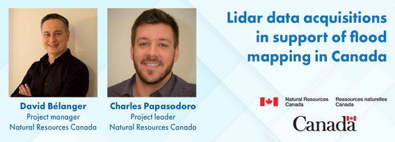
Flooding is the most costly natural disaster in Canada. Although flood hazard maps are essential for understanding a community’s risk to flooding, in Canada, many flood maps are not always available or up to date. High quality flood mapping that is current and accessible will help governments, communities, and individuals understand flood hazards and to implement effective mitigation strategies to reduce their impacts.Since 2021, Natural Resources Canada (NRCan) has been leading the Fl...
Traditional LiDAR acquisition platforms are commonplace in the industry and can be relied upon for efficient data acquisition for most relatively flat and uniform project areas. However, when multisource data acquisition is required or acquisition is impacted by complex corridors, excessive terrain, low-hanging clouds or airspace limitations, alternative approaches are required. This presentation will highlight some of NV5’s innovations to address these challenges including the Comprehensive ...
AI-driven mapping revolutionizes the use of LiDAR and photo datasets, addressing challenges like underutilized data and the complexity of heavy datasets. By transforming big data into lightweight, accessible information, XEOS offers practical solutions for municipalities and private companies. Through a step-by-step breakdown of the AI mapping process and product demonstrations, attendees will discover how this innovation enables smarter decision-making and brings more value to LiDAR data.
Join us at LiDARCanEX 2025 for an insightful panel discussion moderated by Dr. Tim Webster. This session will bring together experts to explore the current state of LiDAR projects in Canada and discuss what the future holds. Topics include:Wide-Area Topographic LiDAR Mapping: Applications in forestry, flood risk assessment, powerlines, infrastructure, and urban development.Topo-Bathymet...


