Pete Wills
Sessions in which Pete Wills attends
miércoles 22 julio, 2020
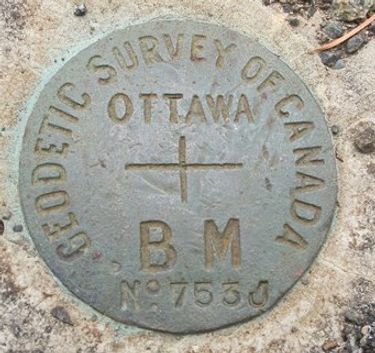
The U.S. reference system modernization effort will replace the North American Datum of 1983 (NAD83) with a new North American Terrestrial Reference Frame (NATRF2022), creating 1.3 to 1.5 m horizontal coordinate differences at the Canada–U.S. border with respect to Canada’s NAD83(CSRS). Never before have such significant differences existed between our two countries’ reference frames.There are compelling reasons for Canada to follow suit and adopt the NATRF2022 frame as our ...
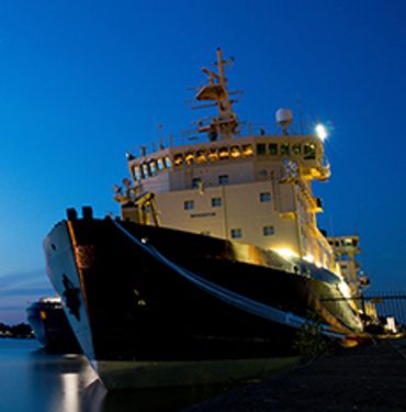
Ocean, Marine & Coastal Hydro(Geo)spatial Management is critical for the Blue Economy. Much knowledge, data, information and coordination are needed for the marine and coastal sector in time of disruption to maintain safe and efficient operations. This session will cover the scientific basis; the detection and the response of Earthquake in the Canadian coastal zone and underwater that could potentially generate ocean coastal flooding & Tsunamis. The session will be a...
viernes 24 julio, 2020
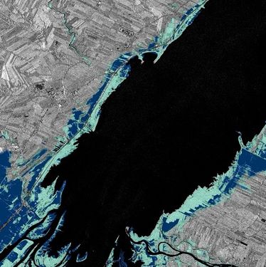
In recognition of the increasing costs and risk due to flooding, the Government of Canada is investing in flood mapping as part of the Government’s commitment to build safer and more resilient communities. Flood maps are critical for the public to understand their flood risks, and the availability of up to date flood hazard maps are key to strengthening the resilience of Canadian communities to overland flooding. Natural Resources Canada (NRCan) has been working in collaboration to advance...


