Jiaao Guo
Jiaao Guo is currently a first year Ph.D. student at Applied Geospatial Research Group (AGRG), University of Calgary and a part-time geospatial research coordinator. He has worked at Alberta Biodiversity Monitoring Institute (ABMI) since 2022, where he applies his hands-on experience working on commercial satellite images, lidar, and cloud-based remote sensing platforms. Prior to joining AGRG/ABMI, he was a remote sensing analyst at Government of Northwest Territories and a firefighter volunteer in Inuvik, NT. Jiaao has a B.Sc. in Environmental Science (University of Western Ontario), and Masters in GIS (University of Calgary), and is also a part-time research assistant working with different teams at Canadian Mountain Network.
Sessions in which Jiaao Guo participates
martes 29 octubre, 2024
Sessions: Human footprint datasets for Canada: mapping and monitoring in support of land and resource managementDisturbance is a key component of boreal-forest ecosystems, impacting their structure and functions. In Alberta, disturbances are both natural and anthropogenic, including > 30,000 sqkm of harvest areas. The recovery of all types of forest disturbance influences not only local landscapes, but also carbon dynamics and biodiversity. In the face of a changing climate, the imp...
Sessions in which Jiaao Guo attends
martes 1 marzo, 2022
"GHG Monitoring from Space: A mapping of capabilities across public, private and hybrid missions" was a collaborative effort undertaken by the Group on Earth Observations (GEO), WattTime, and the World Geospatial Industry Council (WGIC).This report, presented at the United Nations Framework Convention on Climate Change (UNFCCC) Earth Information Day at the 26th session of the Conference of the Parties (COP 26), was the first syst...
miércoles 2 marzo, 2022
At a time of rising climate change impacts, there is a vital and growing need to prepare for, respond to, and recover from natural disasters. But there is a critical communication gap between authorities and citizens.Drawing on the ongoing results of our massive multi-year climate change research and development project, and with assistance from hundreds of students, citizens, academics, NGOs, government officials, and industry p...
martes 8 marzo, 2022
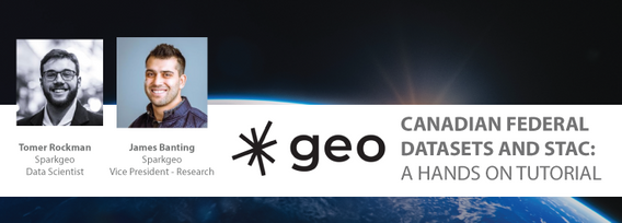
This workshop will use open tools and standards to create STAC compliant data for a Canadian Federal Dataset. The workshop will focus on the nuances of working on Canadian Data in a Cloud environment. It will further demonstrate modern geospatial data science tools to create a SpatioTemporal Asset Catalogue. Sparkgeo will also demonstrate use in leading desktop and cloud mapping software.


