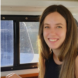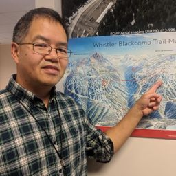
Erika Carswell is a team lead in the Decision Support Services Section of GeoBC. Thanks to the amazing individuals in her section, the section is always working to streamline data analysis and improve geospatial products, providing effective solutions such as the Together for Wildlife Project Dashboard (https://experience.arcgis.com/experience/1f077552bed941759392fdf3c2bb913a) or the 2018 Wildfire Season Map (https://www2.gov.bc.ca/assets/gov/data/geobc/wildfire_2018_wall_map_final.pdf). The section works on a variety of topics from legal mapping to complex geospatial analysis incorporating imagery analysis, LiDAR, and automation to improve end products.
Sessions auxquelles Erika Carswell participe
Mercredi 8 Novembre, 2023
No matter what your GIS super-powers may be, there is a place for you at GeoBC. We offer clients a wide range of GIS services and products such as base mapping, imagery analysis, data science, data management, spatial analysis, programming/automation, project management, map making, web maps, and mobile app creation.On any given project your clients may be biologists, engineers, planners, First Nations relations staff, land and water authorizations staff, executives, Emerg...


