Carina Butterworth P.Eng., PhD(c)
Carina Butterworth has been an instructor at SAIT for 16 years, teaching in Geomatics Engineering Technology, GIS, and Environmental Technologies. Her technical expertise is in remote sensing, microwave imaging, and lidar, and her education expertise follows a radical constructivism philosophy. She has been the faculty advisor on the Geomatics Student Club for 16 years, a faculty representative on the SAIT Academic Faculty Association, a representative on the SAIT Academic Council, and served on many committees over the years at SAIT. She has also volunteered with the Advisory Committee for the GoGeomatics Expo for the past two years and is a cofounder of the CanSLAM Circuit (formally known as the SLAM ScanOff). She is currently working on a PhD in Biomedical Engineering where she is using laser scanning and microwave imaging for breast cancer treatment monitoring.
Sessions auxquelles Carina Butterworth P.Eng., PhD(c) assiste
Mercredi 26 Avril, 2023
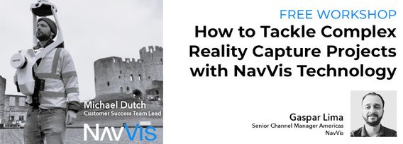
Join NavVis in-house specialists Gaspar Lima, Senior Channel Manager, and Michael Dutch, Customer Success Team Lead, as they discuss how NavVis users successfully deliver complex survey projects by leveraging hybrid terrestrial and mobile laser scanning workflows. Discover how to get the best accuracy and coverage with reduced time on site and lower cost of capture.
Our team of experts will be running the TopoDOT software workshop showing multiple types of applications using Mobile, Terrestrial, Drone and Airborne point clouds. You will learn about the latest feature extraction workflow developments for transportation applications such as corridor topographies, GIS inventories, surface modeling. See the expanding applications of point clouds in engineering grade data analysis such as Wall Displacement, Cross Slope, Volume Calculation, Clearance/Encroa...
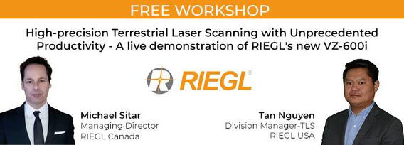
RIEGL's next generation of terrestrial laser scanners are focused on maximizing productivity, simplifying workflow, and improving the overall user experience. Join us as we provide a live demonstration of the features, capabilities and superior performance of RIEGL's innovative VZ-600i terrestrial lidar scanner, a purpose-designed sensor for the collection of engineering-grade data from both static and mobile platforms.


