Sarah Richardson
Sessions auxquelles Sarah Richardson assiste
Mardi 1 Mars, 2022
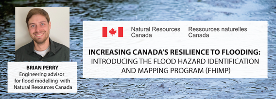
In Budget 2021, the government tabled a recovery plan for jobs, growth, and resilience. Within the budget were specific investments to promoting a healthy environment for a healthy economy, with $145.5 million dedicated to supporting initiatives that will increase resiliency to the natural hazards of wildfires and floods, which are becoming more frequent, severe, and devastating due to climate change and urban development. Flood hazard maps are essential to un...
Planet's constellation of satellites capture the whole of Earth's landmass every day. This unprecedented dataset provides insights to the agricultural sector, helping farmers and the companies that serve them make informed, timely decisions. But translating that data into insights isn’t always straightforward. In this session, Greg Crutsinger will go over the fundamental ways space observation is serving agricultural customers and present new applications in satellite data - everything fro...
Mercredi 2 Mars, 2022
At a time of rising climate change impacts, there is a vital and growing need to prepare for, respond to, and recover from natural disasters. But there is a critical communication gap between authorities and citizens.Drawing on the ongoing results of our massive multi-year climate change research and development project, and with assistance from hundreds of students, citizens, academics, NGOs, government officials, and industry p...
Jeudi 24 Mars, 2022
Reveal is building the world's most advanced and accurate digital twin technology for subsurface infrastructure. We're driving a safer, more efficient and sustainable world by revealing the truth of the underground. Join us for a 30min presentation where we will be showcasing our technology through our flagship project in Wellington, New Zealand.
Vendredi 25 Mars, 2022
An overview of Prostar's "Cloud and Mobile Precision Field Data Collection Solution and the set up of the ProStar "PointMan Plus" application FREE to WorkShop attendees. PointMan is a patented cloud and mobile mapping software application that captures, records, and displays the precise location and the associated metadata of critical surface and subsurface infrastructure, all in "real-time" Workshop includes: -1 FREE annual subscription of...
