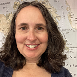
Rachel Dyson
I am new to the government side of crown land surveying and the MDMNRF team. I live and grew up in Port Hope where we as a family run a strawberry and crop rotation farm. I enjoy adventures, camping, cards/board games, family time, hockey, volleyball and baseball.
Sessions auxquelles Rachel Dyson assiste
Mardi 1 Mars, 2022
Planet's constellation of satellites capture the whole of Earth's landmass every day. This unprecedented dataset provides insights to the agricultural sector, helping farmers and the companies that serve them make informed, timely decisions. But translating that data into insights isn’t always straightforward. In this session, Greg Crutsinger will go over the fundamental ways space observation is serving agricultural customers and present new applications in satellite data - everything fro...
Mercredi 2 Mars, 2022
Inter-annual variability in agricultural production in Canada is largely determined by weather and climate. Climate-related impacts have caused billions of dollars in financial losses in some years, with the incidence of extreme weather and related costs expected in increase in a changing climate. The National Agroclimate Information Service at Agriculture and Agri-Food Canada monitors the impacts of weather and climate on agricultural activities using a number of geospatial data sets, mod...
Jeudi 3 Mars, 2022
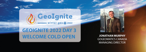
Join Jonathan Murphy as they kick off the start of Day 3 Winter Geo:GeoIgnite 2022 and announce our award recipients.
Vendredi 4 Mars, 2022
In this short technical demonstration, I’ll explore some of the ways that Planetscope’s new 8-band capabilities can be used to both detect and monitor invasive plant species, such as Watermoss-Salvinia, within water bodies. We’ll focus on the role that the 4 new spectral bands (Coastal Blue (433-453nm) , Yellow (600-620nm), Green-II (547-583nm) and Red-edge (697-713nm)) can have in this use case. I’ll compare how some spectral indices unlocked via 8-band data compare to previous 4-band, RG...
Mardi 8 Mars, 2022
The Integrated Cadastral Information Society (ICI Society) is a leader in sharing geospatial information, promoting the integration, adoption, and use of spatial data for the social and economic benefit of British Columbians. In addition to data sharing, ICI Society works to facilitate opportunities for training, education, and collaboration across government, industry, and other interested organizations. Incorporated in May 2001 and registered under the BC Societies Act as a ...
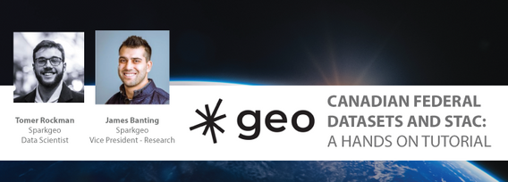
This workshop will use open tools and standards to create STAC compliant data for a Canadian Federal Dataset. The workshop will focus on the nuances of working on Canadian Data in a Cloud environment. It will further demonstrate modern geospatial data science tools to create a SpatioTemporal Asset Catalogue. Sparkgeo will also demonstrate use in leading desktop and cloud mapping software.
Mercredi 9 Mars, 2022
The Topobathymetric Lidar Solutions & Applications Workshop presented by NV5 Geospatial is designed to provide a comprehensive overview of topobathymetric lidar in a relaxed, collaborative environment to allow discussion and answer any questions. This interactive, virtual event will review our latest sensor technology, present typical project planning and execution, and provide processing insights to successfully completing and delivering ...

