Sven Cowan lives in Vancouver, BC and serves as NV5 Geospatial’s Canada Program Manager. Sven has over 20 years of experience in customer-facing positions within the geospatial information industry and has worked for multiple geospatial remote sensing organizations in various Account Management, Technical Services, and Customer Experience roles. His current focus includes regional strategy, business development, relationship management, and brand awareness.
Sessions auxquelles Sven Cowan participe
Mardi 25 Avril, 2023
The geospatial industry is at an inflection point thanks in part to the power of LiDAR. In this talk, we will take the audience on a LiDAR journey: from acquisition, processing, analysis, to customer solutions. Data fusion and automation, powered by AI/ML will be key parts of this story.
Mercredi 29 Janvier, 2025
Traditional LiDAR acquisition platforms are commonplace in the industry and can be relied upon for efficient data acquisition for most relatively flat and uniform project areas. However, when multisource data acquisition is required or acquisition is impacted by complex corridors, excessive terrain, low-hanging clouds or airspace limitations, alternative approaches are required. This presentation will highlight some of NV5’s innovations to address these challenges including the Comprehensive ...
Sessions auxquelles Sven Cowan assiste
Mardi 1 Mars, 2022
Join Jonathan Murphy, Nicholas Kellett and John Roos as they kick off the start of Winter Geo:GeoIgnite 2022.
Mercredi 2 Mars, 2022
MDA's new multi-sensor Earth observation satellite constellation, CHORUS, will bring together multiple diverse and unique perspectives in harmony, opening the aperture and the art of the possible to provide a new level of real-time insight about our planet.Building on the legendary RADARSAT program, CHORUS will provide the most extensive radar imaging capacity on the market. With advanced C-band and X-band Synthetic Aperture Rada...
Jeudi 3 Mars, 2022
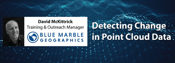
The increase in the availability of high-resolution lidar and other point cloud datasets has given rise to the use of this data for detecting change in the environment over time. Continual improvements in airborne technology and the miniaturization of the requisite sensors has cultivated a nimble new branch of the industry that provides cost-effective data collection services virtually on demand. This ability to employ temporal analysis of the geospatial landsca...
Mercredi 9 Mars, 2022
The Topobathymetric Lidar Solutions & Applications Workshop presented by NV5 Geospatial is designed to provide a comprehensive overview of topobathymetric lidar in a relaxed, collaborative environment to allow discussion and answer any questions. This interactive, virtual event will review our latest sensor technology, present typical project planning and execution, and provide processing insights to successfully completing and delivering ...
Mercredi 6 Avril, 2022
Lidar! This ubiquitous 3D technology is transforming how we visualize, map and analyze the world around us. What is it and how does it fit into the remote sensing toolbox? This presentation provides an overview of the core advantages of lidar data and an overview of the latest sensor solutions from RIEGL.
Mardi 26 Mars, 2024
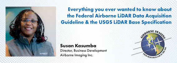
The Canadian government first formally created LiDAR Guidelines in 2017. The document was updated in 2022 to Version 3.1. This session will review the Canadian Guidelines and compare them to the USGS LiDAR Base specification, updated in 2023. Included in the presentation will be:LiDAR for Flood Mapping and funding from the National D...
Canada has just experienced a record wildfire season with devastating impacts. Public safety and damage mitigation is a priority for all impacted by these disasters. From mapping vegetation, analyzing slope stability, planning fire breaks, qualitfiying wood debris and fuel loads, how does LiDAR play a role in meeting post wildfire needs?
Canada’s LiDAR Panel: Future Trends in Service and Tech, is a deep dive into the evolving landscape of LiDAR technology in Canada. Our panel of experts will explore cutting-edge developments in LiDAR, focusing on new trends in service delivery and technological advancements. Expect insights into the integration of AI, enhancements in data processing, and future applications in sectors like urban development and environmental management. This session promises to equip attendees with a forward-...
Lundi 12 Mai, 2025
📅 Date: Monday, May 12, 2025📍 Location: Rainbow Bistro, 76 Murray Street, ByWard Market, Ottawa⏰ Time: Networking at 6:30 PM | Panel begins at 7:00 PM | Live music to follow🍽 Details: Cash bar and hors d’oeuvres provided Event OverviewJoin us for an evening of high-level discussion, networking, and live music in the heart of Ottawa’s historic By...


