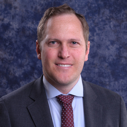
Kaan Ersahin
Sessions auxquelles Kaan Ersahin assiste
Lundi 17 Juin, 2019
Gain insights on the possibilities and challenges with leveraging and integrating a complete open source GIS stack into your applications and projects. Sessions will be led by members of OSGEO-Ottawa.The first session involves high level presentations showcasing use case scenarios and highlighting strengths and limitations of each tools. This session is designed for managers, analysts, and non-technical individuals to discover and learn about what open source GIS tools are available, ...
In conjunction with GeoIgnite 2019, PCI Geomatics is hosting a user-group meeting (UGM) on June 17, 2019 in Ottawa, Canada. The UGM is open to all who want to learn about the latest innovations in PCI software, such as Analysis Ready Data tools, large-volume data processing (with GXL), object-based image analysis, Interferometric SAR (InSAR), DEM extraction, and more. The UGM will focus on the automation possibilities using the Geomatica platform Python API. A review...
Lundi 26 Avril, 2021
Les billets pour cet atelier doivent être achetés à l'avance.
Lundi 28 Octobre, 2024
We are excited to announce that the next Canada Forum will be held during the GoGeomatics Expo in Calgary, from October 28th to 30th. This event will bring together key stakeholders from across Canada’s geospatial sector, including industry leaders, academics, indigenous communities, government representatives, and technologists, to continue vital discussions on advancing geospatial standards, interoperability, and spatial data infrastructure (SDI) in Canada.
In this virtual workshop, you will fine-tune a pretrained model from the ArcGIS Living Atlas of the World collection and apply it to high-resolution imagery to efficiently detect and classify objects in ArcGIS Pro. Participants will gain hands-on experience in adjusting the deep learning model parameters to enhance its accuracy and performance for specific use cases. Additionally, you will learn advanced techniques for data preprocessing, prepare training samples, and model evaluation, ensuri...


