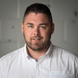
A licensed Land Surveyor specializing in point cloud technology, David has a bachelor's degree in geomatics sciences from Laval University and has been a registered member of the Association of Quebec Land Surveyors since 2013. David jointed the Cansel team in June 2011 as a technical resource for terrestrial scanning, UAV applications, and mobile mapping. In 2019, David assumed the role of segment manager for mobile mapping. He works closely with customers and the Cansel team from prospect to deployment of all systems in this segment.
Sessions auxquelles David Laflamme participe
Mardi 5 Avril, 2022
Fuseau horaire: (GMT-05:00) Eastern Time (US & Canada)
12:45
12:45 -
12:52 |
7 minutes
Use case outlining the challenges, solution and result associated to a Lidar data acquisition using drone and vehicle.
Mardi 25 Avril, 2023
Fuseau horaire: (GMT-05:00) Eastern Time (US & Canada)
12:15
12:15 -
12:45 |
30 minutes


