Derek Acres
Transmission GIS
Manitoba Hydro
over 30 years experience using GIS with Manitoba Forestry Branch, ESRI Canada Limited, and Manitoba Hydro
Sessions auxquelles Derek Acres assiste
Vendredi 24 Juillet, 2020
Fuseau horaire: (GMT-05:00) Eastern Time (US & Canada)
12:30
12:30 -
13:15 |
45 minutes
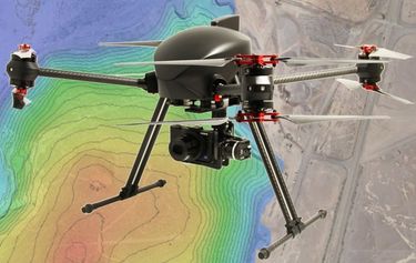
The key elements to take into account a successful implementation of drone survey with a mm accuracy are: Know your camera; Trust your measurement; Control your space; Understand your photogrammetry software. Working out that, we present this nuance including special tags around the surveyed object as the measurement system to get details.A correct implementation of photogrammetry tags with consumer grade measurement devices and consumer grade UAVs and cameras enables very precise a...
