Teneille Valere
Sessions auxquelles Teneille Valere assiste
Mardi 1 Mars, 2022
Join Jonathan Murphy, Nicholas Kellett and John Roos as they kick off the start of Winter Geo:GeoIgnite 2022.
Mercredi 2 Mars, 2022
Join Jonathan Murphy and John Roos as they kick off the start of Day 2 Winter Geo:GeoIgnite 2022 and share some information on the upcoming workshop week.
Jeudi 3 Mars, 2022
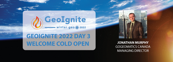
Join Jonathan Murphy as they kick off the start of Day 3 Winter Geo:GeoIgnite 2022 and announce our award recipients.
Mercredi 15 Mai, 2024
Utilities, telecoms and municipalities are faced with increasing pressure to build infrastructure faster to meet the demands of new provincial legislature. The building broadband, transit and new homes faster acts were enacted to support the ever increasing needs of Canadian population growth from immigration. Learning how to securely faciliate the expansion of utility services required to meet the needs of a growing population is something that all utility, telecom and municipal ...
Mardi 25 Juin, 2024
The applications of GeoAI are as wide and diverse as our imaginations. Many applications like remote sensing, image classification and object detection using computer vision, improve visual clarity and allow higher zoom levels using super-resolution networks, extract geospatial information from unstructured data using natural language processing, deep learning application for large 3D geospatial datasets etc. and have shown positive trends in GeoAI.With the increasing focus on damage p...


