The Federal Government of Canada Geospatial Directors General Panel: Satellite Earth Observation in Canada – A Strategy in Action

Mon statut pour la session
Join our DG Panel discussion moderated by Jonathan Murphy, Managing Director of GoGeomatics Canada. Our panelists are Eric Laliberté, Éric Loubier and David Harper.
As a country spanning almost 10 million square kilometres, Canada has always faced a unique challenge in collecting the day-to-day information needed to provide critical services to Canadians. Today, space offers a unique perspective that is increasingly important to understanding our planet and providing these services. Data from Earth observation satellites enable applications and services in a number of critical areas, including: climate change mitigation and adaptation, emergency response, ecosystem protection, public health, and food security. Over the past 18 months, the Canadian Space Agency (CSA), Environment and Climate Change Canada (ECCC), and Natural Resources Canada (NRCan) have facilitated a multi-departmental effort to assess Canada’s Earth observation needs. Additionally influenced by engagement with stakeholders from industry and academia across the country, this collaborative effort led to the recent release of Canada’s new strategy for satellite Earth observation.
Announced in January 2022, Resourceful, Resilient, Ready: Canada’s Strategy for Satellite Earth Observation outlines the key priorities and actions necessary to leveraging the capabilities of satellite EO technologies. This new strategy builds upon existing successes, such as recent Budget 2021 investments of $90 million into Earth observation service continuity and ground segment renewal, $8 million in funding for Canadian industry via the CSA’s smartEarth program, and a $20 million investment into Canadian private company GHGsat. The Government of Canada is looking to maintain the momentum created by the Strategy’s release, and these investments, by informing stakeholders of additional initiatives under development and seeking feedback on the new strategy. In this panel, Director Generals from the CSA, ECCC, and NRCan will discuss the new EO Strategy and invite input on your priorities for satellite Earth observation in Canada.
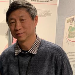
Eric Laliberté
Director General, Space Utilization
Canadian Space Agency (CSA) Leadership of Canada's RADARSAT Constellation Mission and Earth Observation program as well as Earth Observation Applications development, Satellite Operations, Atmospheric and Earth Sciences from Space, Solar-Terrestrial Science including Space Weather, Space debris.
Éric Loubier
Director General
The Canada Centre for Mapping and Earth Observation (CCMEO) is the Government’s centre of excellence for geomatics, mapping, and earth observations.
David Harper
Director General
Monitoring and Data Services Directorate (MDSD) ensures that meteorological, climatological, hydrometric and environmental data and information are collected and managed.


