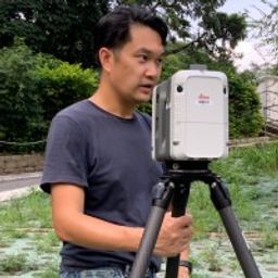
Deep learning based underground digital twins: Scan to BIM

Mon statut pour la session
The talk summarizes a market product of deep learning based semantic segmentation of point clouds and automatic 3D reconstruction of as-built BIM for underground utilities and pipework for 3D GIS. The presentation covers a general workflow of the approach (including point cloud labeling, definition of classes, deep neural network, information extraction, and pipe modeling), accuracy of semantic segmentation, real case studies, and foreseeable challenges down the road. Also, the speakers will share their experience how to turn a R&D into a real market product, which has been applied to various Government projects in Hong Kong, including Lands Department and Water Supplies Department. The proposed solution indeed offers an efficient approach for automatic conversion of point clouds into BIM, and opens doors for various applications, including asset management, hydrologic analysis, and decision making.


