Kenneth Ang
Kenneth Ang is a Project Manager and Geomatics Lead at Terra Remote sensing. He holds a bachelor's degree in Geomatics Engineering from BCIT and is an RPAS pilot. With more than 10 years of industry experience in surveying, remote sensing, geodesy and RPAS applications, he oversees the RPAS program and geo-referencing efforts at Terra Remote.
Sessions in which Kenneth Ang attends
Wednesday 26 April, 2023
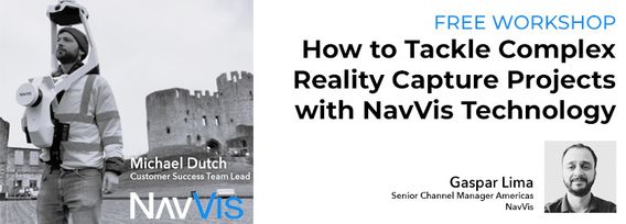
Join NavVis in-house specialists Gaspar Lima, Senior Channel Manager, and Michael Dutch, Customer Success Team Lead, as they discuss how NavVis users successfully deliver complex survey projects by leveraging hybrid terrestrial and mobile laser scanning workflows. Discover how to get the best accuracy and coverage with reduced time on site and lower cost of capture.
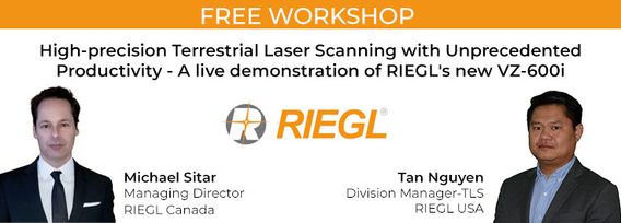
RIEGL's next generation of terrestrial laser scanners are focused on maximizing productivity, simplifying workflow, and improving the overall user experience. Join us as we provide a live demonstration of the features, capabilities and superior performance of RIEGL's innovative VZ-600i terrestrial lidar scanner, a purpose-designed sensor for the collection of engineering-grade data from both static and mobile platforms.


