Alessandro Alasia is Assistant Director at the Centre for Special Business Projects (CSBP), Statistics Canada. He joined this agency in 2007, to work with the Rural Research Group of the Agriculture Division, and moved to the Centre in 2012, where he has led and contributed to numerous innovative data development and research projects aimed to improve local statistics; for instance through data crowdsourcing, open micro data,
real-time local indicators,
definitions of local labour markets, and measures of remoteness and proximity. Since 2017, Alessandro is Chair of the Working Party on Territorial Indicators at the OECD and has contributed to several OECD Territorial Reviews.
Prior to joining Statistics Canada, Alessandro has led research projects with the agency and the Rural and Co-operatives Secretariat (AAFC) as consultant and post-doctoral fellow, while also working as consultant in agriculture and rural development research projects, mainly in Southern Africa, with international organizations. Alessandro has taught at the graduate and undergraduate levels at the University of Bologna (Italy), the Eduardo Mondlane University (Mozambique), and the International Comparative Rural Policies Studies program.
Alessandro graduated in Economics from the University of Torino (Italy), earned a MSc from the School of Specialization in Agriculture Economics and Business of the Catholic University (Italy), and a PhD in Agricultural Economics with specialization in Rural Studies from the University of Guelph.
Sessions in which Alessandro Alasia participates
Tuesday 18 June, 2019
The changes we are witnessing today are being driven by the growing use of geospatial technology in everyday life. Artificial intelligence (AI), self-learning machines, Smart Cities, 5G, automated vehicles, and Big Data. The world has become geospatial by default and is already altering the ways decisions are made and information communicated.Our world class panelists will discuss...
Wednesday 19 June, 2019
Over the last few years, the Data Exploration and Integration Lab (DEIL) at Statistics Canada has conducted an increasing amount of work with open data using various open source tools in an open ecosystem. This exploration and experience has given rise to the idea of using an “open project” approach; that is, an approach that, to the extent possible, makes use of open source software, open code, open standards, open data, open platforms and open project management tools. The presentation outl...
Friday 24 July, 2020
Title: DEIL experiments and outputs with open geospatial dataThe Data Exploration and Integration Lab (DEIL) at Statistics Canada has implemented a number of projects using, to the extent possible, open georeferenced data and open source tools. This presentation outlines some of this work. We will present recent developments of the Linkable Open Data Environment (LODE), examples of the use of LODE data, the development of a Proximity Measures Database and Data Viewer, and an R&amp...
Wednesday 13 October, 2021
Download PresentationEven in an increasingly digital world, spatial proximity to services and amenities remains a driver of socioeconomic outcomes for business and people alike. In Canada, a nation-wide measurement framework of proximity was lacking. To address this data gap, Statistics Canada developed the first set of nation-wide proximity me...
Sessions in which Alessandro Alasia attends
Friday 24 July, 2020
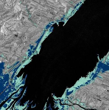
In recognition of the increasing costs and risk due to flooding, the Government of Canada is investing in flood mapping as part of the Government’s commitment to build safer and more resilient communities. Flood maps are critical for the public to understand their flood risks, and the availability of up to date flood hazard maps are key to strengthening the resilience of Canadian communities to overland flooding. Natural Resources Canada (NRCan) has been working in collaboration to advance...


