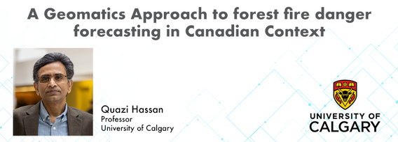
Quazi Hassan
Dr. Quazi Hassan is a Professor with the Department of Geomatics Engineering, University of Calgary, Calgary, AB, Canada. His research interests include: (i) application of remote sensing in forecasting and monitoring of natural hazards/disasters, such as forest fire, drought, and flooding; (ii) use of remote sensing and GIS techniques in understanding the dynamics of natural resources, such as forestry, agriculture, and water; and (iii) integration of remote sensing, GIS, and modelling techniques in addressing issues related to energy and environment. In addition, Dr. Hassan is currently serving the editorial board of several international journals such as Royal Society Open Science (The Royal Society), Remote Sensing (MDPI) among others.
Elementy, w których Quazi Hassan uczestniczy
wtorek 7 listopad, 2023
At the Earth Observation for the Environment Laboratory in The University of Calgary, we have been conducting research in developing remote sensing-based forecasting system for forest fire danger conditions since 2009. In the scope of this presentation, the chronology of such developments at daily, 4-day, and 8-day time scales will be discussed. We believe that these would be critical for managing forest fire regimes in Canada and elsewhere in the world.
