David Bélanger
David Bélanger has 25 years' experience in geomatics, and holds a B.Sc. in Geomatics from Université Laval. Over the course of his career, he has been involved in numerous national projects for the acquisition, management and dissemination of geospatial data. He is currently the manager of Natural Resources Canada's National Elevation Data Strategy. This strategy aims to provide Canadians with a detailed three-dimensional representation of the country in support of government priorities.
Elementy, w których David Bélanger attends
wtorek 25 kwietnia, 2023
The geospatial industry is at an inflection point thanks in part to the power of LiDAR. In this talk, we will take the audience on a LiDAR journey: from acquisition, processing, analysis, to customer solutions. Data fusion and automation, powered by AI/ML will be key parts of this story.
The Canadian Geodetic Survey provides the Canadian Spatial Reference System Precise Point Positioning service (CSRS-PPP) to support clients requiring accurate GNSS information. The service is used internationally and over 1.2 million GNSS files are now process annually. The CSRS-PPP service has a kinematic mode that is known to support Lidar data collection. Some recent statistics on kinematic services will be presented and expo attendees are invited to provide fee...
środa 26 kwietnia, 2023
Join NavVis in-house specialists Gaspar Lima, Senior Channel Manager, and Michael Dutch, Customer Success Team Lead, as they discuss how NavVis users successfully deliver complex survey projects by leveraging hybrid terrestrial and mobile laser scanning workflows. Discover how to get the best accuracy and coverage with reduced time on site and lower cost of capture.
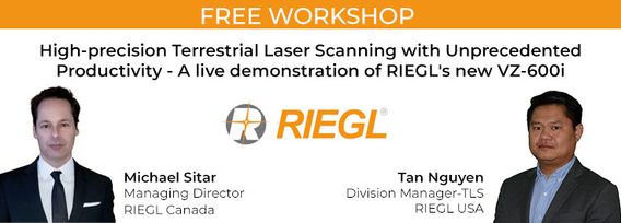
RIEGL's next generation of terrestrial laser scanners are focused on maximizing productivity, simplifying workflow, and improving the overall user experience. Join us as we provide a live demonstration of the features, capabilities and superior performance of RIEGL's innovative VZ-600i terrestrial lidar scanner, a purpose-designed sensor for the collection of engineering-grade data from both static and mobile platforms.


