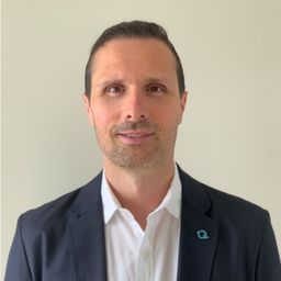
Martin Flood
Elementy, w których Martin Flood attends
wtorek 25 kwiecień, 2023
This is not meant to be an exhaustive review of all the changes and advancements in lidar for the past 20 years, but rather some observations of a user of lidar technology. Lidar sensors in the early days were either set to first or last returns, then eventually allowed both first and last returns to be captured. Terrestrial lidar evolved into mobile mapping systems where advanced navigation systems allows data to be coll...
The geospatial industry is at an inflection point thanks in part to the power of LiDAR. In this talk, we will take the audience on a LiDAR journey: from acquisition, processing, analysis, to customer solutions. Data fusion and automation, powered by AI/ML will be key parts of this story.
The market for survey technology has seen considerable innovation over the past few years. Among the various new tools for laser scanning professionals, nothing has changed the way we capture indoor and outdoor sites as much as mobile mapping devices. SLAM technology is a key differentiator between mobile mappers, and today's best mobile solutions are capable of producing high-quality data that often exceeds expectations for most projects and tasks. Join Gaspar Lima, NavVis specialist and ...
środa 26 kwiecień, 2023
This session will help attendees understand the ability of Trimble Business Center (TBC) as a unique software that can handle different LiDAR data types and merge them with other Surveying datasets towards generating different deliverables.

