Christian Ritter
Elementy, w których Christian Ritter attends
środa 22 lipca, 2020
Ocean, Marine & Coastal Hydro(Geo)spatial Management is critical for the Blue Economy. Much knowledge, data, information and coordination are needed for the marine and coastal sector in time of disruption to maintain safe and efficient operations. This session will cover the scientific basis; the detection and the response of Earthquake in the Canadian coastal zone and underwater that could potentially generate ocean coastal flooding & Tsunamis. The session will be a...
Our next-generation Earth imaging constellation will change everything. We're not just launching more satellites. In 2021, we will deploy WorldView Legion which will provide unprecedented visibility into our changing planet to solve the biggest challenges facing our world today. Grab your favorite beverage and join Maxar for a casual conversation about our next constellation, Legion! Everyone who joins will be entered for a chance to win an IPad!
czwartek 23 lipca, 2020
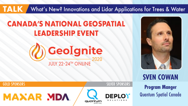
A closer look at some of the lidar-derived innovations for enhanced forestry management solutions and topobathymetric flood mitigation from Quantum Spatial Canada. Presented by Sven Cowan, Dr. Andrew Brenner, and Colin Cooper. Quantum Spatial, Inc., an NV5 company, is one of North America's largest geospatial services firms, providing insights to organizations that need geospatial intelligence to mitigate risk, plan for growth, better manage resources and advance scientific ...
A new era of human experience is upon us. The current disruption brought by the COVID-19 crisis has thrust us from a mere “digital transformation” into a new digital reality.The COVID-19 crisis is rapidly reshaping the "what" and "how" of digital transformation agendas. Through leveraging IoT, Big Data, blockchain, AI, location intelligence, etc., organizations are improving their operations and business decisions.We reached a turning point in ...
piątek 24 lipca, 2020
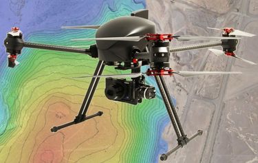
The key elements to take into account a successful implementation of drone survey with a mm accuracy are: Know your camera; Trust your measurement; Control your space; Understand your photogrammetry software. Working out that, we present this nuance including special tags around the surveyed object as the measurement system to get details.A correct implementation of photogrammetry tags with consumer grade measurement devices and consumer grade UAVs and cameras enables very precise a...
Title: DEIL experiments and outputs with open geospatial dataThe Data Exploration and Integration Lab (DEIL) at Statistics Canada has implemented a number of projects using, to the extent possible, open georeferenced data and open source tools. This presentation outlines some of this work. We will present recent developments of the Linkable Open Data Environment (LODE), examples of the use of LODE data, the development of a Proximity Measures Database and Data Viewer, and an R&amp...
środa 21 kwietnia, 2021
Over the past year, Minerva Intelligence, a Vancouver-based cognitive AI company, has been awarded two contracts with Natural Resources Canada to design schemas at a national level: the National Flood Hazard Data Layer (NFHDL) and the National Hydro Network V2 (NHNv2). You might be asking yourself why an AI company is designing and building these important database structures. Minerva's cognitive AI system makes use of semantically inoperable data in knowledge graphs and has designed syste...
piątek 23 kwietnia, 2021
The global geospatial industry is estimated at US$ 500 Billion and delivers an even more significant impact on society, with derived economic benefits estimated to be multifold. These benefits, however, are still not fully understood by key stakeholders and policy and decision-makers, ultimately hindering the global uptake of geospatial information. With decades of national spatial data infrastructure efforts around the world, how can this be? Focusing on the importance of...
poniedziałek 26 kwietnia, 2021
Tickets for this workshop must be claimed in advance.Interested in learning web mapping with JavaScript? Join our introductory workshop on Leaflet (https://leafletjs.com), an open-source JavaScript library for mobile-friendly interactive maps! This workshop will guide participants through creating a simple choropleth map (thematic polygon map) using Leaflet. No prior programming knowledge required. Note: You will need access to a personal (free) GitHub accou...
