Michelle Pisicoli
Elementy, w których Michelle Pisicoli attends
wtorek 1 marca, 2022
In this talk Dan Nord will share key insights on Maxar’s position as a centerpiece in the global tech shift from 2D to 3D. Join us to hear more about how Maxar is accelerating its Earth Intelligence business with the launch of WorldView Legion in 2022, as well as building on our lead in mapping, monitoring, and new markets of the future.
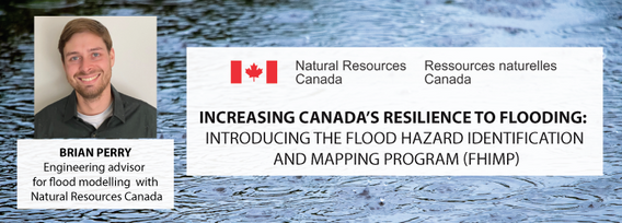
In Budget 2021, the government tabled a recovery plan for jobs, growth, and resilience. Within the budget were specific investments to promoting a healthy environment for a healthy economy, with $145.5 million dedicated to supporting initiatives that will increase resiliency to the natural hazards of wildfires and floods, which are becoming more frequent, severe, and devastating due to climate change and urban development. Flood hazard maps are essential to un...
Planet's constellation of satellites capture the whole of Earth's landmass every day. This unprecedented dataset provides insights to the agricultural sector, helping farmers and the companies that serve them make informed, timely decisions. But translating that data into insights isn’t always straightforward. In this session, Greg Crutsinger will go over the fundamental ways space observation is serving agricultural customers and present new applications in satellite data - everything fro...
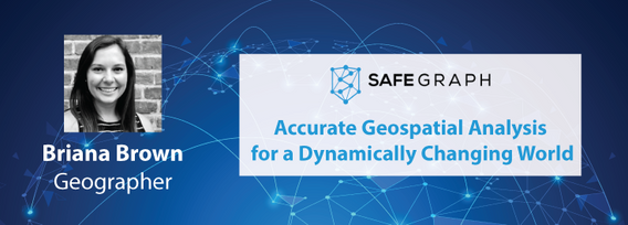
Abstract: Organizations are increasingly relying on geospatial analysis to power their decision making and business processes. But in such a dynamically changing world, maintaining an accurate database of critical locations is no small task. Everyday worldwide, businesses open and close, change names, or update their operating hours. When these changes happen, any map, application, or model immediately becomes stale. How can organizations strategize if they are not...
NV5 Geospatial has been at the forefront of hydrospatial data acquisition and processing for decades. This presentation will provide a brief corporate introduction and overview of some of the technologies relevant to remotely sensed hydrospatial data collection and development. This will also include associated analyses and ancillary data integration to solve questions surrounding hydrology and wetland mapping, flood risk modeling, and habitat...
środa 26 kwietnia, 2023
Join NavVis in-house specialists Gaspar Lima, Senior Channel Manager, and Michael Dutch, Customer Success Team Lead, as they discuss how NavVis users successfully deliver complex survey projects by leveraging hybrid terrestrial and mobile laser scanning workflows. Discover how to get the best accuracy and coverage with reduced time on site and lower cost of capture.
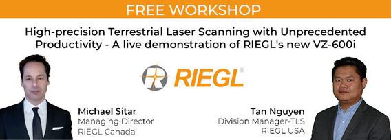
RIEGL's next generation of terrestrial laser scanners are focused on maximizing productivity, simplifying workflow, and improving the overall user experience. Join us as we provide a live demonstration of the features, capabilities and superior performance of RIEGL's innovative VZ-600i terrestrial lidar scanner, a purpose-designed sensor for the collection of engineering-grade data from both static and mobile platforms.


