Will Ramsay
Elementy, w których Will Ramsay attends
środa 22 lipiec, 2020
Opening Remarks by GeoIgnite founder Jonathan MurphyKeynote address: Geospatial Opportunities in COVID TimesGeospatial capacity has been helpful in providing answers to Canadians during a time where nothing seems normal anymore. At the forefront of tracking, reporting and managing the response to the COVID crisis are geospatial tools, data and leadership. Natural Resources Canada’s Canada Centre for Mapping and Earth Observation supported the Government of Canada’s response b...
The U.S. reference system modernization effort will replace the North American Datum of 1983 (NAD83) with a new North American Terrestrial Reference Frame (NATRF2022), creating 1.3 to 1.5 m horizontal coordinate differences at the Canada–U.S. border with respect to Canada’s NAD83(CSRS). Never before have such significant differences existed between our two countries’ reference frames.There are compelling reasons for Canada to follow suit and adopt the NATRF2022 frame as our ...
Geospatial and location technologies is present and continues to expand its reach in many sectors. Much of the current digital transformation taking place globally is built upon geospatial foundations. In this open panel discussion, our experts will discuss the latest developments and challenges facing the Canadian and global geospatial sector and what the future holds. Key components to be addressed include how has the global pandemic affected our sector and how may we be impacted in the...
piątek 24 lipiec, 2020
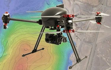
The key elements to take into account a successful implementation of drone survey with a mm accuracy are: Know your camera; Trust your measurement; Control your space; Understand your photogrammetry software. Working out that, we present this nuance including special tags around the surveyed object as the measurement system to get details.A correct implementation of photogrammetry tags with consumer grade measurement devices and consumer grade UAVs and cameras enables very precise a...
środa 28 kwiecień, 2021
Tickets for this workshop must be claimed in advance.The use of drones, officially referred to as Remotely Piloted Aerial Systems (RPAS), has been forecasted to play a key role in the digitalization and further optimization of a variety of geomatics applications such as in resource aggregates management, landfill management, civil engineering (3D reality capture, virtual surveying), and precision agriculture. To help realize this forecast it is important for ...
środa 26 kwiecień, 2023
Join NavVis in-house specialists Gaspar Lima, Senior Channel Manager, and Michael Dutch, Customer Success Team Lead, as they discuss how NavVis users successfully deliver complex survey projects by leveraging hybrid terrestrial and mobile laser scanning workflows. Discover how to get the best accuracy and coverage with reduced time on site and lower cost of capture.
Our team of experts will be running the TopoDOT software workshop showing multiple types of applications using Mobile, Terrestrial, Drone and Airborne point clouds. You will learn about the latest feature extraction workflow developments for transportation applications such as corridor topographies, GIS inventories, surface modeling. See the expanding applications of point clouds in engineering grade data analysis such as Wall Displacement, Cross Slope, Volume Calculation, Clearance/Encroa...
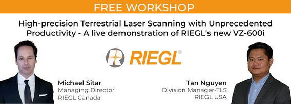
RIEGL's next generation of terrestrial laser scanners are focused on maximizing productivity, simplifying workflow, and improving the overall user experience. Join us as we provide a live demonstration of the features, capabilities and superior performance of RIEGL's innovative VZ-600i terrestrial lidar scanner, a purpose-designed sensor for the collection of engineering-grade data from both static and mobile platforms.
This session will help attendees understand the ability of Trimble Business Center (TBC) as a unique software that can handle different LiDAR data types and merge them with other Surveying datasets towards generating different deliverables.


