
Santosh has 16 years of experience in engineering and as a business leader developing tech solutions. With a master’s degree in mechanical engineering, Santosh has a proven track record in product development, validation testing, and large-scale implementation. During his career, he made significant contributions at various Fortune 500 companies including Caterpillar, General Motors, and Cummins.
Santosh is currently the Vice President of Strategy & Business Development for PRISUM Technologies, a division of Condux International, aiming to bring the firm to the forefront of the Geospatial Technology industry. His focus at PRISUM is on client relationship management, business development, resource allocation, budget planning and strategic partnerships.
He resides in Mankato, MN with his wife Rajini and two children. They enjoy volunteering with Junior Achievement USA, and the United Way. In his leisure time he plays tennis and coaches students for VEX robotics state level competitions.
Elementy, w których Santosh Saride uczestniczy
środa 23 marzec, 2022

Due to aging and lack of accurate utility location information, there is significant underground congestion and conflict. This results in increased operational risk especially at waterway, transportation, and utility crossings. The IMU Mapping methods are able to mitigate these risks by providing accurate digital as-built positional data at trenchless crossings, constructed via HDD methods. Unlike other technology mapping solutions, which rely on sending signals below ground, in-line IMU M...
Elementy, w których Santosh Saride attends
czwartek 29 kwiecień, 2021

Tickets for this workshop must be purchased in advance.
Awareness of the human and economic cost of not knowing the location of underground utilities and other infrastructure has grown dramatically in the last few years. At this forum we will hear from leaders of relatively new companies or startups that are providing technology that has begun to seriously impact our ability to detect, record and share accurate location data about underground infrastructure. We will also hear about the latest developments in standards including the latest ASCE ...
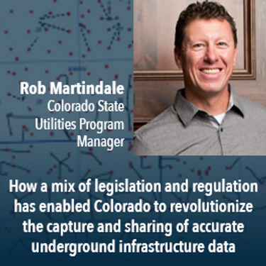
Mapping the Colorado Underground: Colorado is proactively using a 2018 One Call law and new procedures to reduce underground utility hits, which in the US exceed 50,000 annually. The law requires higher accuracy One Call utility locates (Level B). The presentation will describe: 1) including higher accuracy utility locations on contractor bidding documents, 2) installing electronically locatable devices on new utilities, 3) the impact on unde...
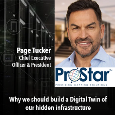
A look at the subsurface infrastructure that is far greater in size than the surface transportation systems. This other infrastructure is just as critical to our economy by providing the utilities that we take for granted.. This buried infrastructure is aging, becoming dilapidated and desperately in need of repair and replacement. It is what lies beneath our roads and railways systems and comprises our utility and pipeline systems. ProStar’s CEO and Founder Page Tucker will look at this va...

UEVO is a Digital Twin of city subsurface infrastructure, which helps solve the problem of managing aging, complex infrastructure under increasingly strained budgets. UEVO unifies fragmented data to enable multiple stakeholders to visualise, manipulate and create subsurface elements quickly and easily, collaborating in real time.


ASCE 38 was first published in 2002. It served as the basis for subsequent standards in UK (PAS 128), Australia, Malaysia, and Ecuador. It serves as the principal standard for the practice of subsurface utility engineering around the globe, and is referenced as the standard to use for existing buried utility investigations in CSA S-250. The latest edition of ASCE 38 takes into account the practice improvements, technological changes, and various interpretations of ASCE 38 since 2002. The l...

Moderator: Prashant ShuklePresenters: Rob Martindale, Olive Powell, DND, PSPC


piątek 30 kwiecień, 2021

Tickets for this workshop must be purchased in advance.

Gyro mapping is rapidly becoming a widely accepted technology for obtaining accurate XYZ data of subsurface utility infrastructure. Whether through national regulation or the utility network owners’ diligent network management policies, gyro mapping is becoming a standard new-build specification, in particular for trenchless installation methods. In addition, Utility network owners see a great benefit in having an objective and accurate as-built profile during the hand-over process with infra...

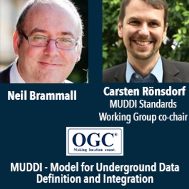
Speaker: Neil Brammall and Carsten Roensdorf

In an era of growing utility digital transformation, why do utilities still collect construction as-built data with paper? Grid transformation requires utilities to manage data from source to consumer in a 100% digital manner. But, utilities have spent decades and millions of dollars on digital design, GIS and ADMS only to end up with digital bookends around a paper field process. The result - long cycle-times, manual project close-out, inaccurate facility maps and poor grid data. This se...
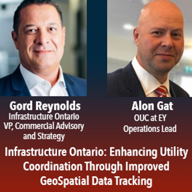
In July of 2020 the Government of Ontario passed Bill 171, the Building Transit Faster Act(“BTFA”) to streamline the delivery of the province’s four priority transit projects. In response to this new legislation, Metrolinx partnered with Infrastructure Ontario and the Ministry of Transportation to establish the Utility Coordination Program (UCP), a new initiative which oversees the development of utility relocation standards and the supporting process to improve the location, trea...
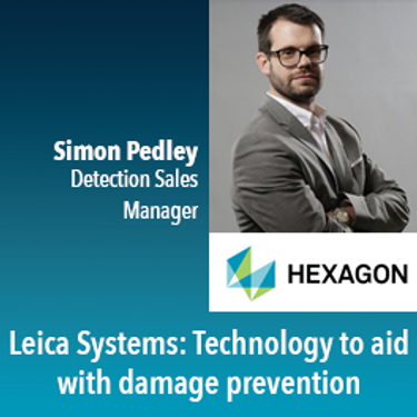
Understanding workflows simple workflows to aid in damage prevention and mass collecting of data during installation of utilities.
Municipalities in Canada manage over 60% of public infrastructure. They are the hub of activity in infrastructure spending and engaged in every facet of infrastructure construction. Most municipalities have developed, to varying degrees based on their size, centralized data and technology capabilities with more advanced municipalities implementing enterprise level data and technology environments. CAD, Mapping and GIS data interoperability efforts have been ongoing for some time. Open data...
wtorek 22 marzec, 2022

Gyroscopic mapping of underground ducts and pipes has been around for a few decades now, and it continues to gain traction amongst the worlds' utilities as an accurate and unique technology. Nevertheless, the market perception until now is that Gyro-mapping, as it's also often referred to, is more expensive than traditional mapping and locating technologies. And although that perception is true, it is not due to the cost of the technology, but rather...

Arising 3-D modeling, visualization, and design software (e.g., BIM, VDC) greatly enhance advanced project designs with sophisticated risk analytics and conflict resolutions that accommodate existing infrastructure and enable proactive/predictive engineering and construction. However, without standardized and accurate utility data, new advanced digital project delivery and damage prevention technologies are compromised...


This presentation will be focusing on the advancement of "Cloud and Mobile" technologies that are currenlty being used to easily and accurately map assets and underground utilities that can be shared, re-located and leveraged thoughout the many project phases.It is critical that data accruacy and integrity is leveraged and accumulated throughout every phase of the BIM procress, creating a live "digital twin" all the way back to t...

Utilities and their Contractor Organizations have traditionally been responsible for the safe and effective construction of new underground facilities. An important aspect of the construction process is the accurate documentation and location of the newly installed assets for update into the Utilities’ Geographic Information Systems, Work Management Systems and Asset Repositories. This process is typically performed via paper-based folders that may contain missing or incorrect attribute da...


Abstract:The total cost of underground infrastructure damage in Canada during excavation work is estimated to be over $1 billion dollars annually. The primary cause of these damage incidents is the lack of reliable information on the location and other information about buried utilities and other infrastructure. The Canadian Underground Infrastructure Register project is intended to improve the current damage prevention process by providing access to reliable data t...


środa 23 marzec, 2022

Synopsis: The UK National Underground Asset Register has gone through rigorous pilot and preparation phases and has learned a lot about the data which we will share for 3 regions before a national roll out. However, despite all the best laid plans there will always be exceptions and unexpected scenarios which will need to either be fitted into the data model or have the data model change in order to fit them. The way in which we make these changes could make or break a project like this wh...


A longstanding and unsolved problem for utility companies has been how to keep geospatial network asset data up to date as networks are extended and maintained. Currently, it can take weeks if not months for “as-built” changes to make their way back into the enterprise system of record, typically a geographic information system (GIS). Existing mobile solutions can enable workers in the field to capture data about network asset data updates, but are too time consuming and comple...

czwartek 24 marzec, 2022

GIS platforms are typically populated with XYZ coordinates with a point spacing of 1 meter or more. in fact, most traditional land surveying techniques, like GPS, often have a point spacing of 3 meters or more, and that is understandable given the procedure to obtain these points. But have you ever wondered what amount of detail is lost when increasing the point frequency? Well, in this seminar, Otto Ballintijn will demonstrate the impact point frequency has on pipe detail usin...

Scribble Maps is an easy-to-use online GIS and web mapping visualization solution. The software has a robust toolset along with vast operations that can help you annotate maps, plot territories, filter and analyze data, optimize routes, add images, and more.Our powerful mapping software can easily be integrated with many different file formats including GeoJson, SHP, KML, CSV, GPX, DXF, and PDF. Founded in 2009, Scribble Maps has been developed from direct user f...


Reveal is building the world's most advanced and accurate digital twin technology for subsurface infrastructure. We're driving a safer, more efficient and sustainable world by revealing the truth of the underground. Join us for a 30min presentation where we will be showcasing our technology through our flagship project in Wellington, New Zealand.

piątek 25 marzec, 2022

An overview of Prostar's "Cloud and Mobile Precision Field Data Collection Solution and the set up of the ProStar "PointMan Plus" application FREE to WorkShop attendees. PointMan is a patented cloud and mobile mapping software application that captures, records, and displays the precise location and the associated metadata of critical surface and subsurface infrastructure, all in "real-time" Workshop includes: -1 FREE annual subscription of...

For decades, cities have required all utilities, communication providers and municipal services providers to build their facilities below ground. In addition, the increase in severe natural disaster conditions have driven traditional overhead utilities to revise their construction standards and build their new facilities underground. As the proliferation of underground construction continues, all utility groups must improve their procedures to ensure that any newly installed fa...