Brian Donahue
Elementy, w których Brian Donahue uczestniczy
czwartek 22 kwietnia, 2021
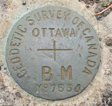
The Canadian Geodetic Survey (CGS) of Natural Resources Canada (NRCan) is responsible for defining, maintaining, and providing access to the Canadian Spatial Reference System (CSRS). The CSRS provides a consistent reference for surveying, mapping, and other applications which require accurate positioning. This presentation will describe the CGS products, tools and services which are currently available and provide access to the Canadian Spatial Reference System (CSRS). It will also take a ...
Elementy, w których Brian Donahue attends
środa 22 lipca, 2020
The U.S. reference system modernization effort will replace the North American Datum of 1983 (NAD83) with a new North American Terrestrial Reference Frame (NATRF2022), creating 1.3 to 1.5 m horizontal coordinate differences at the Canada–U.S. border with respect to Canada’s NAD83(CSRS). Never before have such significant differences existed between our two countries’ reference frames.There are compelling reasons for Canada to follow suit and adopt the NATRF2022 frame as our ...
środa 21 kwietnia, 2021
Do you know what the geospatial product trap is? We fall in love with the technology, not the problem. I am a lucky person. My job has evolved to one where I primarily get to talk about geospatial technology all day. I could be scoping out internal or external projects or evaluating technologies. Increasingly, I provide advice on product ideas. This final situation has forced me to consider the nature of our community-of-practice. The common assumption that geospatial ...
Maxar is building the highest resolution and most accurate 3D map of the planet and this talk will provide an overview of the products and capabilities that are making it possible.


