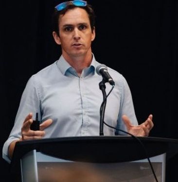
Lindsey Goncalves
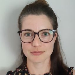
Lindsey Goncalves is a volunteer Geospatial Community Manager for GoGeomatics Canada. In her professional life, she recently embarked on a new position mapping for a land survey firm. Lindsey has studied geography, environmental sciences, urban planning and GIS and worked extensively in the hydro-electric sector. When Lindsey is not working, she’s either out for a run, reading or helping out with GoGeomatics.
Elementy, w których Lindsey Goncalves attends
środa 22 lipca, 2020
Strategic Geospatial for a Complex WorldWhere humans move and landscapes change there is value. That’s geospatial. This talk is about how to think strategically about geospatial technology in an increasingly complex world.In particular, we will focus on canada’s strengths, and how we might inject novel geospatial technology into new markets
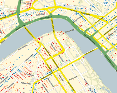
GIS users’ numbers are expanding around the world. It is now possible to find a GIS use in every field and to optimize their success. Discover how Business Geografic work throughout all fields to offer a new and modern approach to use Geografic Information Systems. Wheter your need are the one of an expanding business, a wide world telecom company or an official government entity, find out how we can help you vizualise your data and improve your process.
czwartek 23 lipca, 2020
Agriculture Canada’s COVID-19 response with location data & technology helping drive Objectives and Key Results (OKR’s) on the Enterprise GIS Roadmap This talk is designed to provide insights and guidelines for managing and directing Geospatial programs and uses the COVID-19 response (Maps Apps and Data) and digital transformation as the means to achieve the Objectives and Key Results of the Geomatics program.At AAFC the strategic initiatives of our data driven...
piątek 24 lipca, 2020
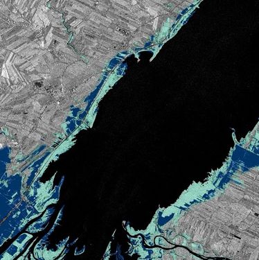
In recognition of the increasing costs and risk due to flooding, the Government of Canada is investing in flood mapping as part of the Government’s commitment to build safer and more resilient communities. Flood maps are critical for the public to understand their flood risks, and the availability of up to date flood hazard maps are key to strengthening the resilience of Canadian communities to overland flooding. Natural Resources Canada (NRCan) has been working in collaboration to advance...
Title: DEIL experiments and outputs with open geospatial dataThe Data Exploration and Integration Lab (DEIL) at Statistics Canada has implemented a number of projects using, to the extent possible, open georeferenced data and open source tools. This presentation outlines some of this work. We will present recent developments of the Linkable Open Data Environment (LODE), examples of the use of LODE data, the development of a Proximity Measures Database and Data Viewer, and an R&amp...
sobota 16 października, 2021
Event times are in Eastern Time. Schedule:11:00-12:30pm - Opening Session12:30-1:30pm - BREAK1:30-3:00pm - Closing Session Finding a job in geospatial technology can be difficult. Covid-19 is not making that any easier. That’s why GoGeomatics Canada is bringing back our popular Career Seminar to give job seekers the tools and techniques that will put them ah...
