Jonathan Miranda
Elementy, w których Jonathan Miranda attends
środa 6 kwietnia, 2022
In this informative discussion, learn how to easily display and manage mobile Lidar and static laser snap from a unique source of trustful data in the cloud. Key take-aways include:Turn structured and unstructured mobile point clouds in high-resolution 3D meshesMake the most of your static or indoor mobile scanners in a combined workflowEffortlessly use visual analysis to reconcile your BIM models to your scansUse cost effective pro...
Learn more about the transportation industry's most productive software solution for extracting topography, 3D models, GIS Assets, and more from drone (UAV) point cloud data. We will demonstrate how TopoDOT®'s comprehensive tool suite allows you to establish a highly productive process to extract break-lines, surface models and assets in a CAD environment. Learn how high quality data promote feature extraction automatization and productivity.
Lidar! This ubiquitous 3D technology is transforming how we visualize, map and analyze the world around us. What is it and how does it fit into the remote sensing toolbox? This presentation provides an overview of the core advantages of lidar data and an overview of the latest sensor solutions from RIEGL.
wtorek 25 kwietnia, 2023
This is not meant to be an exhaustive review of all the changes and advancements in lidar for the past 20 years, but rather some observations of a user of lidar technology. Lidar sensors in the early days were either set to first or last returns, then eventually allowed both first and last returns to be captured. Terrestrial lidar evolved into mobile mapping systems where advanced navigation systems allows data to be coll...
środa 26 kwietnia, 2023
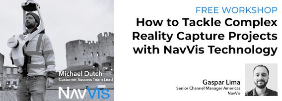
Join NavVis in-house specialists Gaspar Lima, Senior Channel Manager, and Michael Dutch, Customer Success Team Lead, as they discuss how NavVis users successfully deliver complex survey projects by leveraging hybrid terrestrial and mobile laser scanning workflows. Discover how to get the best accuracy and coverage with reduced time on site and lower cost of capture.
Our team of experts will be running the TopoDOT software workshop showing multiple types of applications using Mobile, Terrestrial, Drone and Airborne point clouds. You will learn about the latest feature extraction workflow developments for transportation applications such as corridor topographies, GIS inventories, surface modeling. See the expanding applications of point clouds in engineering grade data analysis such as Wall Displacement, Cross Slope, Volume Calculation, Clearance/Encroa...
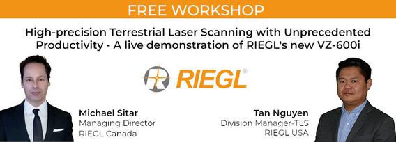
RIEGL's next generation of terrestrial laser scanners are focused on maximizing productivity, simplifying workflow, and improving the overall user experience. Join us as we provide a live demonstration of the features, capabilities and superior performance of RIEGL's innovative VZ-600i terrestrial lidar scanner, a purpose-designed sensor for the collection of engineering-grade data from both static and mobile platforms.
This session will help attendees understand the ability of Trimble Business Center (TBC) as a unique software that can handle different LiDAR data types and merge them with other Surveying datasets towards generating different deliverables.

