Valery Companiytsev
Elementy, w których Valery Companiytsev attends
piątek 24 lipca, 2020
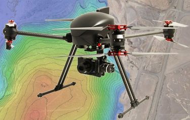
The key elements to take into account a successful implementation of drone survey with a mm accuracy are: Know your camera; Trust your measurement; Control your space; Understand your photogrammetry software. Working out that, we present this nuance including special tags around the surveyed object as the measurement system to get details.A correct implementation of photogrammetry tags with consumer grade measurement devices and consumer grade UAVs and cameras enables very precise a...
Title: DEIL experiments and outputs with open geospatial dataThe Data Exploration and Integration Lab (DEIL) at Statistics Canada has implemented a number of projects using, to the extent possible, open georeferenced data and open source tools. This presentation outlines some of this work. We will present recent developments of the Linkable Open Data Environment (LODE), examples of the use of LODE data, the development of a Proximity Measures Database and Data Viewer, and an R&amp...
wtorek 26 marca, 2024
środa 27 marca, 2024
The United States’ National Geodetic Survey (NGS) plans to modernize their National Spatial Reference System (NSRS) in 2025, including adopting a new dynamic geometric reference (the North American Terrestrial Reference Frame of 2022 (NATRF2022)) and a new geoid-based height system (the North American-Pacific Geopotential Datum of 2022 (NAPGD2022)). To ensure continued geospatial referencing compatibility, the Canadian Geodetic Survey (CGS) plans to modernize the Canadian Spatial Reference Sy...


