Mitchell Hahn
Elementy, w których Mitchell Hahn attends
środa 22 lipiec, 2020
Ocean, Marine & Coastal Hydro(Geo)spatial Management is critical for the Blue Economy. Much knowledge, data, information and coordination are needed for the marine and coastal sector in time of disruption to maintain safe and efficient operations. This session will cover the scientific basis; the detection and the response of Earthquake in the Canadian coastal zone and underwater that could potentially generate ocean coastal flooding & Tsunamis. The session will be a...
czwartek 23 lipiec, 2020
piątek 24 lipiec, 2020
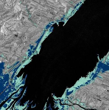
In recognition of the increasing costs and risk due to flooding, the Government of Canada is investing in flood mapping as part of the Government’s commitment to build safer and more resilient communities. Flood maps are critical for the public to understand their flood risks, and the availability of up to date flood hazard maps are key to strengthening the resilience of Canadian communities to overland flooding. Natural Resources Canada (NRCan) has been working in collaboration to advance...
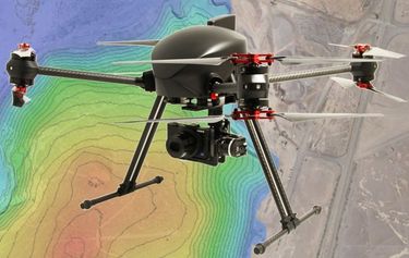
The key elements to take into account a successful implementation of drone survey with a mm accuracy are: Know your camera; Trust your measurement; Control your space; Understand your photogrammetry software. Working out that, we present this nuance including special tags around the surveyed object as the measurement system to get details.A correct implementation of photogrammetry tags with consumer grade measurement devices and consumer grade UAVs and cameras enables very precise a...
Abstract A fundamental shift in the geospatial industry has occurred over recent years. Modern remote sensing technology has been developed at PCI Geomatics and in Canada through advanced research through partnerships with private industry, academia, and government researchers. Ubiquitous access to openly accessible earth observation data, cloud computing infrastructures and international collaboration have created opportunities to increase downstream access to inf...


