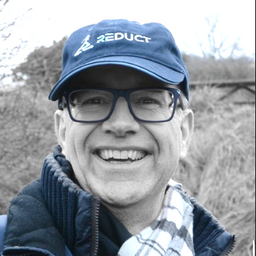
Rob Gerry
Elementy, w których Rob Gerry attends
wtorek 8 marzec, 2022
The Integrated Cadastral Information Society (ICI Society) is a leader in sharing geospatial information, promoting the integration, adoption, and use of spatial data for the social and economic benefit of British Columbians. In addition to data sharing, ICI Society works to facilitate opportunities for training, education, and collaboration across government, industry, and other interested organizations. Incorporated in May 2001 and registered under the BC Societies Act as a ...
środa 9 marzec, 2022
The Topobathymetric Lidar Solutions & Applications Workshop presented by NV5 Geospatial is designed to provide a comprehensive overview of topobathymetric lidar in a relaxed, collaborative environment to allow discussion and answer any questions. This interactive, virtual event will review our latest sensor technology, present typical project planning and execution, and provide processing insights to successfully completing and delivering ...
czwartek 24 marzec, 2022
GIS platforms are typically populated with XYZ coordinates with a point spacing of 1 meter or more. in fact, most traditional land surveying techniques, like GPS, often have a point spacing of 3 meters or more, and that is understandable given the procedure to obtain these points. But have you ever wondered what amount of detail is lost when increasing the point frequency? Well, in this seminar, Otto Ballintijn will demonstrate the impact point frequency has on pipe detail usin...
Scribble Maps is an easy-to-use online GIS and web mapping visualization solution. The software has a robust toolset along with vast operations that can help you annotate maps, plot territories, filter and analyze data, optimize routes, add images, and more.Our powerful mapping software can easily be integrated with many different file formats including GeoJson, SHP, KML, CSV, GPX, DXF, and PDF. Founded in 2009, Scribble Maps has been developed from direct user f...
Reveal is building the world's most advanced and accurate digital twin technology for subsurface infrastructure. We're driving a safer, more efficient and sustainable world by revealing the truth of the underground. Join us for a 30min presentation where we will be showcasing our technology through our flagship project in Wellington, New Zealand.


