
Sebastian Widder
Elementy, w których Sebastian Widder attends
wtorek 7 listopad, 2023

SUMMARYWith the increasing focus on damage prevention, public safety concerns, and environmental damage due to underground utility strikes, it has become more critical to accurately locate, store, and be able to visualize subsurface utilities. We show several key technical and business details when implementing a subsurface mapping system from data collection to the use of machine learning for 3D modelling and visualization and give real-world examples and use cases of the different le...


Over his decade plus at Suncor, Alonzo has been both witness to and active participant in a quiet digital Geospatial revolution. This revolution has democratized access to Geospatial data and tools to everyone at Suncor. Which meant that teams and professionals across a myriad of disciplines have embraced and pushed the limits of Geospatial data and software. The constant demand for newer and higher-resolution data has relegated the paper map to secondary status as the tool for spatial commun...

LiDAR continues to be a cornerstone of the mapping industry. Since its inception, the technology has evolved from sole use on manned aircraft to being used on UAVs and mobile mapping platforms. As the LiDAR industry continues to evolve, our panel of experts will discuss what current and future trends impacting this industry. Join our award-winning panelists for an exciting discussion. Bring your questions.


Geodetic Reference Systems are the foundation for geospatial data, serving as the official reference for latitude, longitude, height and gravity in Canada. There are many contributors to providing such standards to Canadians, including Federal, Provincial and Municipal governments, the private sector, academia, and others. Users will know that every few years there are new versions introduced of the datums or reference frames. A change in reference system, however, invo...


This talk focused on those seeking work in GIS, cartography, remote sensing, programming, and other related geospatial fields.Jonathan Murphy, Managing Director of GoGeomatics Canada and geospatial career coach, will be sharing his valued tips and insight for your job search. He is an expert geomatics professional with close to 20 years of experience. Jon’s career has ranged from the oil fields of Alberta to projects with...


Join us at the BIM/GIS panel of our conference as we delve into critical subjects shaping the intersection of Building Information Modeling (BIM) and Geographic Information Systems (GIS). Our expert panelists will explore the evolving landscape of BIM and GIS, offering invaluable insights into various aspects of this dynamic field.Agenda:The Importance of Standards and Interoperability...


As GIS professionals, we understand the pivotal role that geospatial data plays in decision-making across various industries. Now, imagine harnessing that power to transform facility management. This presentation delves into VertiGIS FM, a groundbreaking solution that revolutionizes facility management through the lens of spatial intelligence, creating new opportunities and efficiencies across organizations.


Harnessing the power of regular collection of imagery and Lidar, the City of Calgary provides valuable information for municipal service delivery. The City publicly shares various datasets in different formats, including Orthophotos, Lidar, and 3D buildings, oh-my! Beginning in 1990, the Aerial Imagery Program supported planning, development, and operations.Regularly collecting spatial data allows for more accurate assessments of changes over time. Annual Orthophoto collection aids in ...


środa 8 listopad, 2023

Wetlands are important to water quality, nutrient cycling, and biodiversity, and have been identified as a management priority across Canada. Reclaiming wetlands that have been impacted can be a long-term, costly process depending on the type of wetland, location, and potential access constraints. One challenge with wetland reclamation is that the work may cause additional or new wetland impacts during access and execution of the work. Concurrent with wetland reclamation priorities, there ...


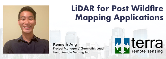
How do you decide when to mobilize and when not to, or even where can you safely and legally fly. As the frequency of unpredictable weather and forest fire smoke increase, so too does the risk in mobilizing to a job site. This presentation will demonstrate OGL Engineering’s process and different geospatial resources available to better inform your decision and minimize risks.

The SLAM Scan-off results are in, but what does that mean, where can this technology be applied, and what technology can be applied to it?Join us for a discussion following the results of the GoGeomatics SLAM Scan-Off:- The strengths and weaknesses of adopting SLAM platforms into your workflow.- The appropriateness of SLAM platforms for specific uses.- The compatibility of SLAM platforms with downstream tools and methods.- The current and possible futures of SLAM sys...


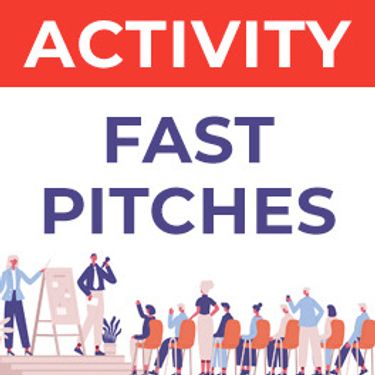
Got a cool geomatics product, service, student project, or academic/science research project/paper? Pitch it to a select panel of geomatics press and industry experts at the GoGeomatics expo held in Calgary, November 6-8 2023.Top picks will have their pitch written up as an online article published and promoted by GoGeomatics.You’ll have 3 minutes to make your presentation, with 2 minutes of questions from the panel. You can present a PowerPoint, do a live demonstration, or j...