Kate Mai
Elementy, w których Kate Mai attends
poniedziałek 6 listopada, 2023
This workshop will cover the basics of deep learning:- What is deep learning?- A typical workflow using deep learning technology to identify objects (hands-on)- Issues to be aware of when using deep learning technology.- Options for deep learning tools.You need to bring a wifi equipped laptop, as we will be using a cloud-based virtual machine for you to do the exercises.Location: SAIT -
wtorek 7 listopada, 2023
Over the past three decades, global and national economies have undergone profound transition while the governments that have tried to steer worldwide growth have been buffeted by profound changes in how citizens interact and feel about the level of services they receive. That many of them are more empowered than ever by social media, which is often said to have hastened the growth of significant divides, speaks to the need of many governmental leader to stay in touch with prevailing th...
The workshop focuses on the role of Cloud Optimized Point Clouds (COPC) datasets and the SpatioTemporal Asset Catalog (STAC) within geospatial cloud systems. Attendees will gain insights into the Pointcloud Data Abstraction Library (PDAL) and the nuances of creating cloud-native metadata. Demonstrations will showcase practical methods for managing and processing large datasets in cloud infrastructures.COPC & STAC Overview: Gain a clear understanding of COPC datasets and the role of...
Join Canadian GNSS manufacturer Eos Positioning Systems for an in-depth look at using the high-accuracy Arrow Gold+ GNSS Receiver with RTK corrections and Esri’s ArcGIS Field Maps.In this live and interactive presentation, you will learn how to do the following:1. Add GNSS metadata fields to ArcGIS Field Maps 2. Easily connect to the local RTK network to achieve real-time <2cm accuracy in the field 3. Collect high-accuracy data in the field according to best...
środa 8 listopada, 2023
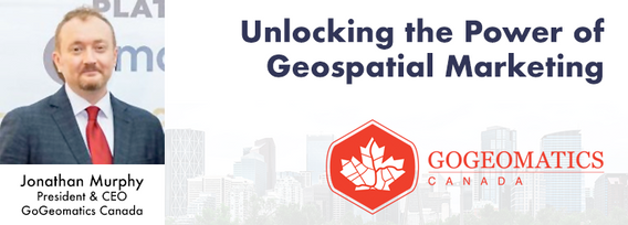
Join us at the Calgary GoGeomatics Expo for an exclusive workshop hosted by Jonathan Murphy, the founder of GoGeomatics and GeoIgnite. In this session, you'll discover the opportunites to successful marketing with GoGeomatics and explore the vibrant world of the GoGeomatics community. Workshop Highlights:Marketing with GoGeomatics: Dive into the art of geospatial marketing with one of the industry's leading experts. Jonathan Murphy will guide yo...
As part of Planet’s ethos of ‘agile aerospace’, we continually invest in the latest hardware and software advancements to improve the PlanetScope image quality. This dataset began life as a relatively simple 3-band image using commercial, ‘off-the-shelf’ hardware components. Through customer feedback, both software and hardware improvements were tested and launched, resulting in a second-generation of PlanetScope, or ‘Dove’ satellites. Replacing this second generation of satellites involved a...


