Grayson Mortimer
Elementy, w których Grayson Mortimer attends
środa 22 lipiec, 2020
Opening Remarks by GeoIgnite founder Jonathan MurphyKeynote address: Geospatial Opportunities in COVID TimesGeospatial capacity has been helpful in providing answers to Canadians during a time where nothing seems normal anymore. At the forefront of tracking, reporting and managing the response to the COVID crisis are geospatial tools, data and leadership. Natural Resources Canada’s Canada Centre for Mapping and Earth Observation supported the Government of Canada’s response b...
Building on the panel discussion at GeoIgnite 2019, David Acco will discuss the potential of geospatial data and analytics to advance issues critical to Indigenous communities across Canada, from exerting sovereignty over territory, to environmental protection and climate change adaptation, to natural resources development. Mr. Acco will further outline how his firm, Acosys Consulting Services Inc., has developed an approach to marrying Indigenous Traditional Knowledge (ITK) and geospatial...
Ocean, Marine & Coastal Hydro(Geo)spatial Management is critical for the Blue Economy. Much knowledge, data, information and coordination are needed for the marine and coastal sector in time of disruption to maintain safe and efficient operations. This session will cover the scientific basis; the detection and the response of Earthquake in the Canadian coastal zone and underwater that could potentially generate ocean coastal flooding & Tsunamis. The session will be a...
Geospatial and location technologies is present and continues to expand its reach in many sectors. Much of the current digital transformation taking place globally is built upon geospatial foundations. In this open panel discussion, our experts will discuss the latest developments and challenges facing the Canadian and global geospatial sector and what the future holds. Key components to be addressed include how has the global pandemic affected our sector and how may we be impacted in the...
czwartek 23 lipiec, 2020
Agriculture Canada’s COVID-19 response with location data & technology helping drive Objectives and Key Results (OKR’s) on the Enterprise GIS Roadmap This talk is designed to provide insights and guidelines for managing and directing Geospatial programs and uses the COVID-19 response (Maps Apps and Data) and digital transformation as the means to achieve the Objectives and Key Results of the Geomatics program.At AAFC the strategic initiatives of our data driven...
piątek 24 lipiec, 2020
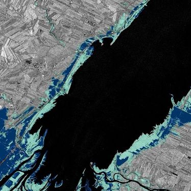
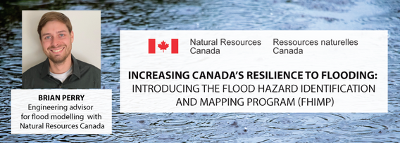
In recognition of the increasing costs and risk due to flooding, the Government of Canada is investing in flood mapping as part of the Government’s commitment to build safer and more resilient communities. Flood maps are critical for the public to understand their flood risks, and the availability of up to date flood hazard maps are key to strengthening the resilience of Canadian communities to overland flooding. Natural Resources Canada (NRCan) has been working in collaboration to advance...
Title: DEIL experiments and outputs with open geospatial dataThe Data Exploration and Integration Lab (DEIL) at Statistics Canada has implemented a number of projects using, to the extent possible, open georeferenced data and open source tools. This presentation outlines some of this work. We will present recent developments of the Linkable Open Data Environment (LODE), examples of the use of LODE data, the development of a Proximity Measures Database and Data Viewer, and an R&amp...
wtorek 1 marzec, 2022
In Budget 2021, the government tabled a recovery plan for jobs, growth, and resilience. Within the budget were specific investments to promoting a healthy environment for a healthy economy, with $145.5 million dedicated to supporting initiatives that will increase resiliency to the natural hazards of wildfires and floods, which are becoming more frequent, severe, and devastating due to climate change and urban development. Flood hazard maps are essential to un...


