Peter Williams
Elementy, w których Peter Williams attends
środa 22 lipca, 2020
Opening Remarks by GeoIgnite founder Jonathan MurphyKeynote address: Geospatial Opportunities in COVID TimesGeospatial capacity has been helpful in providing answers to Canadians during a time where nothing seems normal anymore. At the forefront of tracking, reporting and managing the response to the COVID crisis are geospatial tools, data and leadership. Natural Resources Canada’s Canada Centre for Mapping and Earth Observation supported the Government of Canada’s response b...
środa 21 kwietnia, 2021
Join us for the the launch of GeoIgnite with Jonathan Murphy, the Chair of GeoIgnite, and Dr. Minda Suchan of MDA.Abstract of MDA Keynote: Canada is the world leader in wide area space-based radar Earth observation through the highly successful RADARSAT program, supporting numerous operational and scientific uses for Synthetic Aperture Radar (SAR) data. MDA, in conjunction with the Canadian government, has created an internationally recognized brand and reputation for...
The Canadian Centre for Mapping and Earth Observation (NRCan) continues its work to implement the National Elevation Data Strategy. Through this strategy, one of NRCan's goal is to provide Canadians with an accurate three-dimensional representation of the country, in support of government priorities such as flood mapping. Because of the enormous task of obtaining a high-precision and up-to-date national elevation layer, NRCan works with different entities.The data coverage of the st...
poniedziałek 26 kwietnia, 2021
Tickets for this workshop must be claimed in advance.Interested in learning web mapping with JavaScript? Join our introductory workshop on Leaflet (https://leafletjs.com), an open-source JavaScript library for mobile-friendly interactive maps! This workshop will guide participants through creating a simple choropleth map (thematic polygon map) using Leaflet. No prior programming knowledge required. Note: You will need access to a personal (free) GitHub accou...
wtorek 27 kwietnia, 2021
Google Chrome is the preferred browser for this session.Tickets for this workshop must be claimed in advance.Have you ever wanted to learn more about Synthetic Aperture RADAR (SAR) and Electo-Optical (EO) products? Come join this session for an introduction to some of the basic imaging parameters and learn about the different p...
Google Chrome is the preferred browser for this session.Tickets for this workshop must be claimed in advance.This workshop will be broken down into 4 parts:1. Introduction to ERDAS IMAGINE2. Spatial Modeling for Wildlife Applications3. Using AI, Spatial Modeling and Python to Break Down Big Data Barriers4. Q & ASpatial Modeling ...
środa 28 kwietnia, 2021
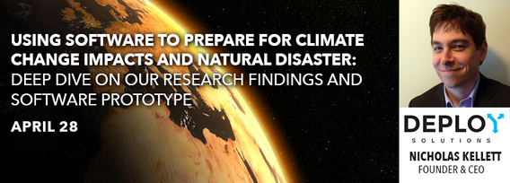
Tickets for this workshop must be claimed in advance.At a time of rising climate change impacts, there is a vital and growing need to prepare for, respond to, and recover from natural disasters. But there is a critical communication gap between authorities and citizens.Drawing on the ongoing results of our massive multi-year climate change R&D project, and with assistance from hundreds of students, citizens...
Tickets for this workshop must be claimed in advance.The use of drones, officially referred to as Remotely Piloted Aerial Systems (RPAS), has been forecasted to play a key role in the digitalization and further optimization of a variety of geomatics applications such as in resource aggregates management, landfill management, civil engineering (3D reality capture, virtual surveying), and precision agriculture. To help realize this forecast it is important for ...
czwartek 29 kwietnia, 2021
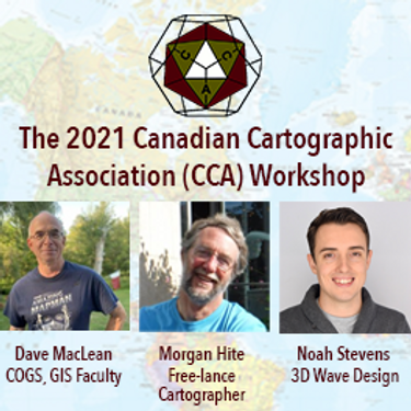
The Canadian Cartographic Association (CCA), is a National non-profit organization that helps advance geographic education in Canada through the use of mapping technology. We host annual cartography related conference and events, and promote geography awareness through scholarship and awards. CAA membership is open to anyone with an interest in any aspect of mapping. If you have a passion for maps then we encourage you to check out our website https://cca-acc....
Tickets for this workshop must be claimed in advance.This workshop will offer a deep-dive into the Avenza Maps app, a mobile app where users can upload or access custom maps for off-line navigation, way-finding, and data collection. The workshop will be composed of 5 modules covering the fundamentals of the apps usage, as well as more advanced industry-relevant features. We will also provide a walkthrough of using the Av...
piątek 30 kwietnia, 2021
Tickets for this workshop must be purchased in advance.
Tickets for this workshop must be claimed in advance.This half-day workshop cuts through the theory and fluff to present, in practical terms, the essential practices for successful GIS project planning and management. Its intent is to provide project managers, teams, and stakeholders with the key actions methods, and tools to launch and execute successful projects --delivering results on time and on budget providing valuable...


