ken yurach
Elementy, w których ken yurach attends
środa 21 kwietnia, 2021
The Canadian Centre for Mapping and Earth Observation (NRCan) continues its work to implement the National Elevation Data Strategy. Through this strategy, one of NRCan's goal is to provide Canadians with an accurate three-dimensional representation of the country, in support of government priorities such as flood mapping. Because of the enormous task of obtaining a high-precision and up-to-date national elevation layer, NRCan works with different entities.The data coverage of the st...
poniedziałek 26 kwietnia, 2021
Tickets for this workshop must be claimed in advance.Interested in learning web mapping with JavaScript? Join our introductory workshop on Leaflet (https://leafletjs.com), an open-source JavaScript library for mobile-friendly interactive maps! This workshop will guide participants through creating a simple choropleth map (thematic polygon map) using Leaflet. No prior programming knowledge required. Note: You will need access to a personal (free) GitHub accou...
czwartek 29 kwietnia, 2021
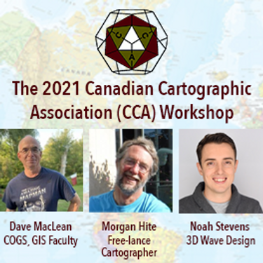
The Canadian Cartographic Association (CCA), is a National non-profit organization that helps advance geographic education in Canada through the use of mapping technology. We host annual cartography related conference and events, and promote geography awareness through scholarship and awards. CAA membership is open to anyone with an interest in any aspect of mapping. If you have a passion for maps then we encourage you to check out our website https://cca-acc....
piątek 30 kwietnia, 2021
Tickets for this workshop must be claimed in advance.This half-day workshop cuts through the theory and fluff to present, in practical terms, the essential practices for successful GIS project planning and management. Its intent is to provide project managers, teams, and stakeholders with the key actions methods, and tools to launch and execute successful projects --delivering results on time and on budget providing valuable...


