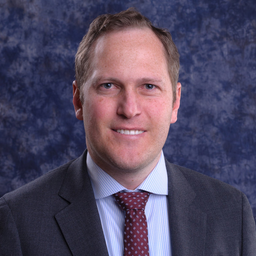
Gabriel Lugo Bustillo
Elementy, w których Gabriel Lugo Bustillo attends
poniedziałek 26 kwiecień, 2021
Tickets for this workshop must be claimed in advance.Join Maxar Product Manager, Jake Dickinson, to learn first-hand how SecureWatch provides commercial and government organizations access to authoritative geospatial information to make decisions and act with confidence. Satellite imagery is foundational to geospatial workflows because it enables analysts to understand and model the locations and characteristics of land, facilities and equipment. But histori...
PLEASE NOTE THE PREFERRED BROWSER IS GOOGLE CHROME. If you are running into any issues accessing the session, please try logging in via Google Chrome.The use of drones or UAVs has expanded dramatically over the last few years and this technology is rapidly permeating a wide variety of professional disciplines and industries, including the broad field of GIS. Ideally suited for on-demand geospatial data collection, drones can effectively eliminate the logjam tha...
wtorek 27 kwiecień, 2021
Google Chrome is the preferred browser for this session.Tickets for this workshop must be claimed in advance.This session will occur from 10:00AM-11:00AM and repeat again from 11:00AM-12:00PMBeSpatial is a geospatial community platform in Ontario that has opened doors to connect, communicate and innovate. BeSpatial aims to provide networking opportunities, programs, and ...
wtorek 1 marzec, 2022
Join Jonathan Murphy, Nicholas Kellett and John Roos as they kick off the start of Winter Geo:GeoIgnite 2022.
"GHG Monitoring from Space: A mapping of capabilities across public, private and hybrid missions" was a collaborative effort undertaken by the Group on Earth Observations (GEO), WattTime, and the World Geospatial Industry Council (WGIC).This report, presented at the United Nations Framework Convention on Climate Change (UNFCCC) Earth Information Day at the 26th session of the Conference of the Parties (COP 26), was the first syst...


