Luis Costa
Elementy, w których Luis Costa attends
czwartek 22 kwietnia, 2021
Applying SafeGraph’s Canadian POI data for community-level analysis in ArcGIS and TableauGeospatial data empowers research bodies, government agencies, and the private sector to visualize and analyze complex problems in new and innovative ways. But location data is only valuable if it is accurate - something many GIS and data analysts know all too well. Armed with accurate, precisely geocoded POI data that includes key attribution related to brands and business types, analys...
piątek 23 kwietnia, 2021
The Government of Canada and organizations such as the UN recognize the critical role of standards in geographic information and geomatics to support stewardship and interoperability of information, ensuring that organizations access, use and share geospatial data efficiently and effectively to support program and service delivery to Citizens. The data inventory/catalogue and the supporting standards are foundational components of any national geospatial information framework. As such, wel...
wtorek 27 kwietnia, 2021
Google Chrome is the preferred browser for this session.Tickets for this workshop must be claimed in advance.This session is intended to provide opportunities for those in the geomatics community to engage with the national mirror committee for ISO/TC 211, to learn about Canada's involvement, and to answer questions related to membership in the national committee.
piątek 30 kwietnia, 2021
Tickets for this workshop must be claimed in advance.This half-day workshop cuts through the theory and fluff to present, in practical terms, the essential practices for successful GIS project planning and management. Its intent is to provide project managers, teams, and stakeholders with the key actions methods, and tools to launch and execute successful projects --delivering results on time and on budget providing valuable...
środa 17 maja, 2023
Geoff Zeiss devoted over 30 years of his life to the Geospatial industry and global community, focusing on utility and construction sectors, and mapping underground utility infrastructure among many other projects. Sadly, Geoff passed away in September of 2022. The Geoff Zeiss Urban Infrastructure Mapping Fund was established to build on decades of innovation by Dr. Zeiss in developing effective and sustainable urban infrastructure through research and development supporting ...
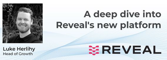
A deep dive into Reveal's new platform for major civil infrastructure projects, highlighting the workflow and features for project managers, engineers and contractors. Reveal for Projects helps stakeholders in the underground build a Unified Utility Model from multiple sources of data, with an intuitive and efficient web interface.

