Dominic Belair
Elementy, w których Dominic Belair attends
poniedziałek 17 czerwca, 2019
Gain insights on the possibilities and challenges with leveraging and integrating a complete open source GIS stack into your applications and projects. Sessions will be led by members of OSGEO-Ottawa.The first session involves high level presentations showcasing use case scenarios and highlighting strengths and limitations of each tools. This session is designed for managers, analysts, and non-technical individuals to discover and learn about what open source GIS tools are available, ...
czwartek 23 lipca, 2020
A new era of human experience is upon us. The current disruption brought by the COVID-19 crisis has thrust us from a mere “digital transformation” into a new digital reality.The COVID-19 crisis is rapidly reshaping the "what" and "how" of digital transformation agendas. Through leveraging IoT, Big Data, blockchain, AI, location intelligence, etc., organizations are improving their operations and business decisions.We reached a turning point in ...
piątek 24 lipca, 2020
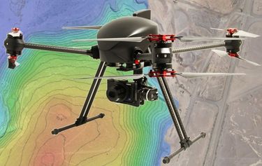
The key elements to take into account a successful implementation of drone survey with a mm accuracy are: Know your camera; Trust your measurement; Control your space; Understand your photogrammetry software. Working out that, we present this nuance including special tags around the surveyed object as the measurement system to get details.A correct implementation of photogrammetry tags with consumer grade measurement devices and consumer grade UAVs and cameras enables very precise a...
Title: DEIL experiments and outputs with open geospatial dataThe Data Exploration and Integration Lab (DEIL) at Statistics Canada has implemented a number of projects using, to the extent possible, open georeferenced data and open source tools. This presentation outlines some of this work. We will present recent developments of the Linkable Open Data Environment (LODE), examples of the use of LODE data, the development of a Proximity Measures Database and Data Viewer, and an R&amp...


